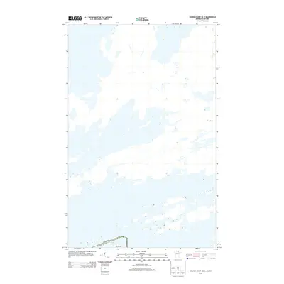
2013 Map of Soldier Point OE N
USGS Topo · Published 2013About this map
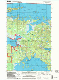
Rainy Lake dominates this northern landscape at the international border between the United States and Canada. The map illustrates a section of the lake’s intricate archipelago and shoreline where St. Louis Co, Minnesota meets the Canadian boundary. A single named landmass, Fox Island, sits just south of the border line, providing a rare point of reference in an otherwise watery expanse. This 2013 survey serves as a detailed record of the border's path through the lake's islands and channels, reflecting the modern cartographic standards of the U.S. Geological Survey. The minimal terrestrial labels underscore the remote, water-defined nature of this frontier region.
Find a feature on this map
5 named features on this map. Tap any name to fly to it.
Don’t see what you’re looking for? This feature index may not catch every label — zoom into the map to look around manually.
Map Details
Editions of this 2013 Soldier Point OE N Map
This is the sole edition of this map. No revisions or reprints were ever made.
Other maps of this area

1954 · International Falls
USGS Topo · 1:250,000

1957 · International Falls
USGS Topo · 1:250,000

1958 · International Falls
USGS Topo · 1:250,000

1967 · Kempton Bay
USGS Topo · 1:24,000

1968 · Soldier Point
USGS Topo · 1:24,000

1969 · Cranberry Bay
USGS Topo · 1:24,000
1978 · International Falls
USGS Topo · 1:100,000
1978 · Brule Narrows
USGS Topo · 1:100,000
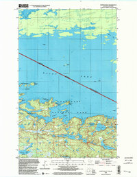
1999 · Kempton Bay
USGS Topo · 1:24,000
1999 · Cranberry Bay
USGS Topo · 1:24,000