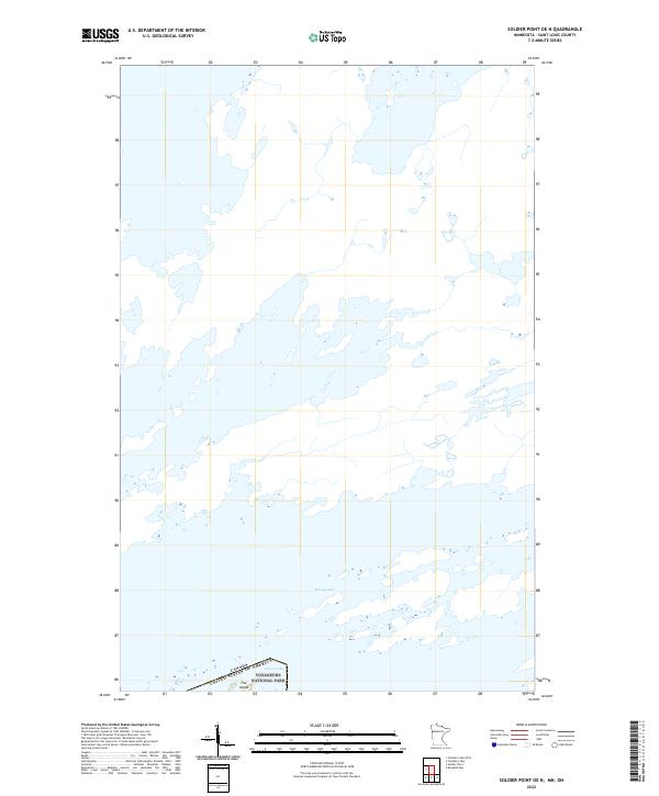
2022 Map of Soldier Point OE N
USGS Topo · Published 2022About this map
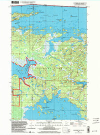
Rainy Lake dominates this northern frontier, where the labyrinthine waterways of Voyageurs National Park meet the international boundary. This modern survey illustrates the intricate landscape of islands and channels that define the border between Canada and the United States. The map highlights Fox Island and several unnamed landmasses, reflecting the preserved wilderness character of St. Louis County. The survey provides a clear view of the complex hydrography and public land survey divisions, including t71n r21w and t71n r20w, which are essential for navigating this protected aquatic corridor.
Find a feature on this map
6 named features on this map. Tap any name to fly to it.
Don’t see what you’re looking for? This feature index may not catch every label — zoom into the map to look around manually.
Map Details
Editions of this 2022 Soldier Point OE N Map
This is the sole edition of this map. No revisions or reprints were ever made.
Other maps of this area

1954 · International Falls
USGS Topo · 1:250,000

1957 · International Falls
USGS Topo · 1:250,000

1958 · International Falls
USGS Topo · 1:250,000

1967 · Kempton Bay
USGS Topo · 1:24,000

1968 · Soldier Point
USGS Topo · 1:24,000

1969 · Cranberry Bay
USGS Topo · 1:24,000
1978 · International Falls
USGS Topo · 1:100,000
1978 · Brule Narrows
USGS Topo · 1:100,000
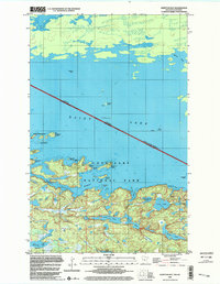
1999 · Kempton Bay
USGS Topo · 1:24,000
1999 · Cranberry Bay
USGS Topo · 1:24,000