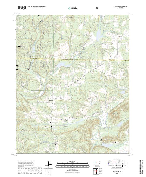
2024 Map of Solgohachia
USGS Topo · Published 2024About this map
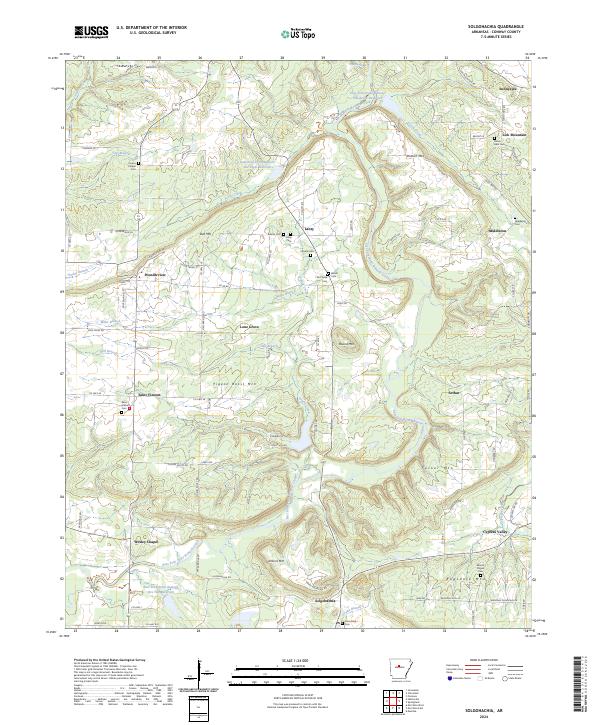
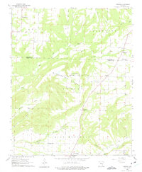
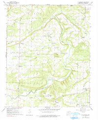
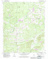
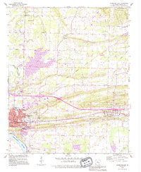
Solgohachia sits at the base of the Ozark Mountain foothills in northern Conway County, marking a landscape where agricultural clearings meet the rising ridges of the interior. The drainage of East Fork Point Remove Creek and its many tributaries, such as Tenny Creek and Prairie Creek, defines the local topography, with several engineered catchments like the East Fork Point Remove Site Ten Reservoir providing water management for the valley.
Find a feature on this map
107 named features on this map. Tap any name to fly to it.
Don’t see what you’re looking for? This feature index may not catch every label — zoom into the map to look around manually.
Map Details
Editions of this 2024 Solgohachia Map
This is the sole edition of this map. No revisions or reprints were ever made.
Historical Maps of Cypress Valley Through Time
17 maps found

1889 Morrilton No. 3
Conway County, AR

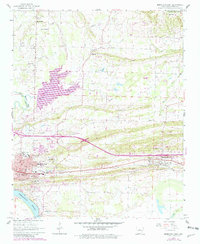
1892 Morrillton
Conway County, AR
1961 Morrilton East
Conway County, AR
1961 Morrilton West
Conway County, AR
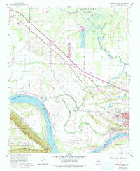
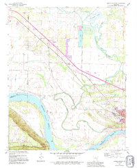
1962 Cleveland
Conway County, AR
1962 Formosa
Conway County, AR
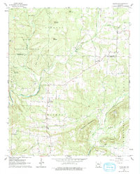
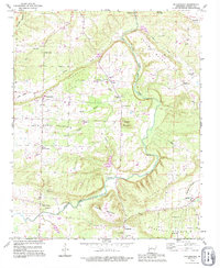
1962 Solgohachia
Conway County, AR
1990 Cleveland
Conway County, AR
1990 Morrilton East
Conway County, AR
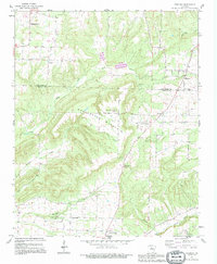
1990 Solgohachia
Conway County, AR
1991 Formosa
Conway County, AR
1991 Morrilton West
Conway County, AR
2024 Cleveland
Conway County, AR
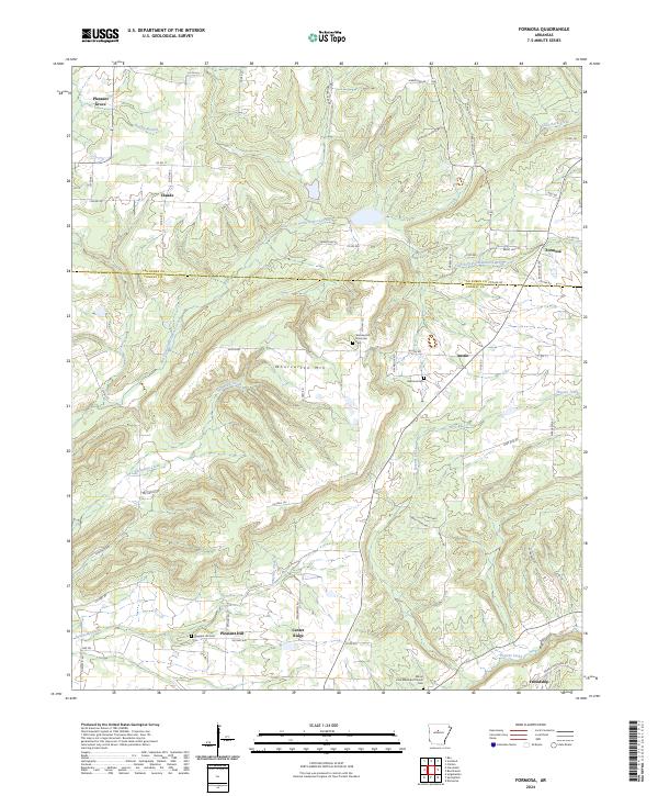
2024 Formosa
Conway County, AR
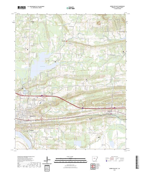
2024 Morrilton East
Conway County, AR
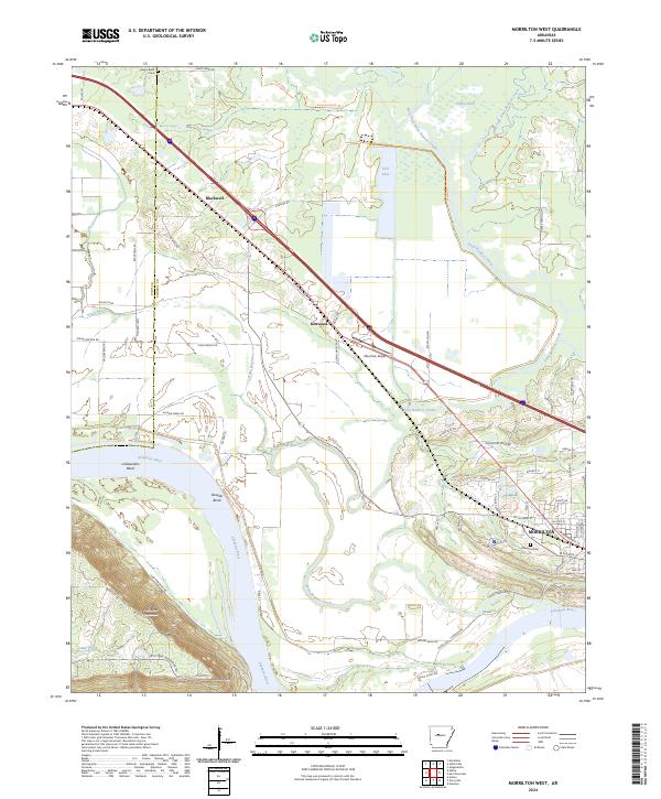
2024 Morrilton West
Conway County, AR
2024 Solgohachia
Conway County, AR