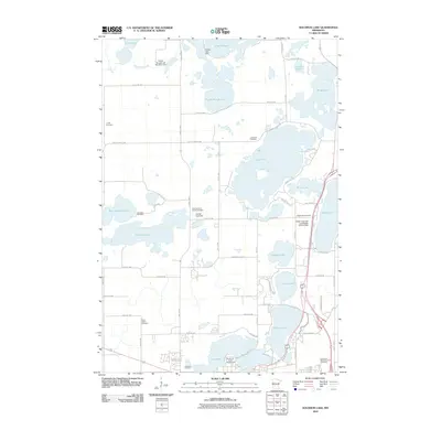
2010 Map of Solomon Lake
USGS Topo · Published 2010About this map
Willmar Lake and Foot Lake anchor the southern portion of this landscape, where the Kandiyohi County Fairgrounds sits near the heart of the regional hub. The terrain is defined by an extensive network of glacial lakes and sloughs, managed by numerous water control structures such as the Florida Lake Dam and the Weber Unit Fish and Wildlife Control Dam. These features illustrate the long-term management of the Minnesota prairie pothole region for agriculture and recreation.
Find a feature on this map
65 named features on this map. Tap any name to fly to it.
Don’t see what you’re looking for? This feature index may not catch every label — zoom into the map to look around manually.
Map Details
Editions of this 2010 Solomon Lake Map
This is the sole edition of this map. No revisions or reprints were ever made.
Other maps of this area

1953 · Saint Cloud
USGS Topo · 1:250,000

1956 · Atwater
USGS Topo · 1:62,500

1957 · Saint Cloud
USGS Topo · 1:250,000

1958 · Saint Cloud
USGS Topo · 1:250,000

1958 · Raymond
USGS Topo · 1:24,000

1958 · Pennock
USGS Topo · 1:24,000

1958 · Willmar
USGS Topo · 1:24,000

1958 · Solomon Lake
USGS Topo · 1:24,000

1967 · Mount Tom
USGS Topo · 1:24,000

1967 · Sunburg
USGS Topo · 1:24,000