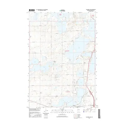
2016 Map of Solomon Lake
USGS Topo · Published 2016About this map
The northern reaches of Willmar dominate the southern edge of this map, where the city grid meets a complex glaciated landscape of prairie potholes and interconnected water bodies. The geography is defined by a dense concentration of lakes, including the large Solomon Lake, Foot Lake, and Lake Florida to the north. These waters are linked by small drainage ways like Shakopee Cr, creating a varied terrain of wetlands and high ground that has shaped local development and agriculture.
Find a feature on this map
90 named features on this map. Tap any name to fly to it.
Don’t see what you’re looking for? This feature index may not catch every label — zoom into the map to look around manually.
Map Details
Editions of this 2016 Solomon Lake Map
This is the sole edition of this map. No revisions or reprints were ever made.
Other maps of this area

1953 · Saint Cloud
USGS Topo · 1:250,000

1956 · Atwater
USGS Topo · 1:62,500

1957 · Saint Cloud
USGS Topo · 1:250,000

1958 · Saint Cloud
USGS Topo · 1:250,000

1958 · Raymond
USGS Topo · 1:24,000

1958 · Pennock
USGS Topo · 1:24,000

1958 · Willmar
USGS Topo · 1:24,000

1958 · Solomon Lake
USGS Topo · 1:24,000

1967 · Mount Tom
USGS Topo · 1:24,000

1967 · Sunburg
USGS Topo · 1:24,000