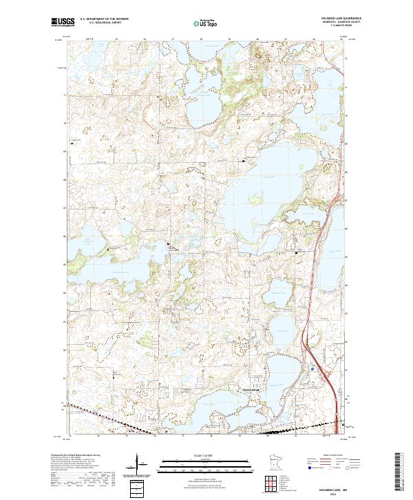
2022 Map of Solomon Lake
USGS Topo · Published 2022About this map
The glacial landscape of northern Willmar is defined by a dense network of water bodies, including Solomon Lake, Eagle Lake, and the expansive Florida Slough Lake. This area of Kandiyohi County reflects a well-established rural and academic community, anchored by the presence of Ridgewater College in the south. The distribution of cemeteries across the township, such as Vikor Lutheran Church Cem and Endresen Cem, points to a long-settled heritage of family farms and local parishes.
Find a feature on this map
66 named features on this map. Tap any name to fly to it.
Don’t see what you’re looking for? This feature index may not catch every label — zoom into the map to look around manually.
Map Details
Editions of this 2022 Solomon Lake Map
This is the sole edition of this map. No revisions or reprints were ever made.
Other maps of this area

1953 · Saint Cloud
USGS Topo · 1:250,000

1956 · Atwater
USGS Topo · 1:62,500

1957 · Saint Cloud
USGS Topo · 1:250,000

1958 · Saint Cloud
USGS Topo · 1:250,000

1958 · Raymond
USGS Topo · 1:24,000

1958 · Pennock
USGS Topo · 1:24,000

1958 · Willmar
USGS Topo · 1:24,000

1958 · Solomon Lake
USGS Topo · 1:24,000

1967 · Mount Tom
USGS Topo · 1:24,000

1967 · Sunburg
USGS Topo · 1:24,000