1953 Map of Solyo
USGS Topo · Published 1955About this map
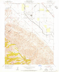
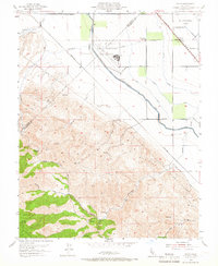
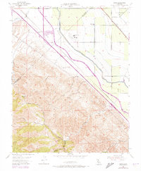
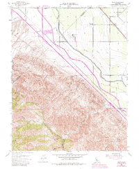
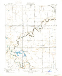
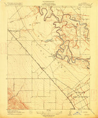
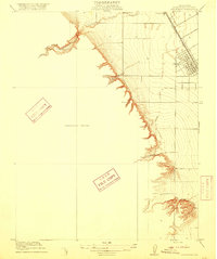
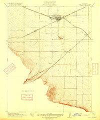
The Naval Auxiliary Air Station stands as a prominent mid-century installation at the base of the Diablo Range, where the flatlands of the San Joaquin Valley meet the rising terrain. This survey reveals a landscape defined by significant water engineering projects, including the Hetch Hetchy Aqueduct and the Delta-Mendota Canal, which traverse the boundary between San Joaquin and Stanislaus counties. The small settlement of Solyo is positioned along the Southern Pacific railroad line, serving as a focal point for the surrounding agricultural and ranching operations.
Find a feature on this map
35 named features on this map. Tap any name to fly to it.
Don’t see what you’re looking for? This feature index may not catch every label — zoom into the map to look around manually.
Map Details
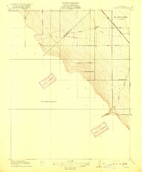
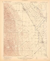
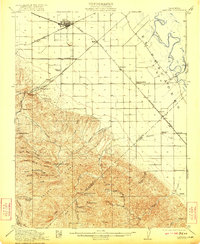
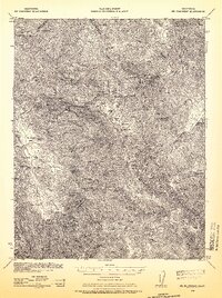
Editions of this 1953 Solyo Map
4 editions found
Other maps of this area

1913 · Romain
USGS Topo · 1:31,680

1915 · Vernalis
USGS Topo · 1:31,680
1915 · Ripon
USGS Topo · 1:31,680
1915 · Westley
USGS Topo · 1:31,680
1916 · Patterson
USGS Topo · 1:31,680
1916 · Tracy
USGS Topo · 1:31,680
1916 · Romain
USGS Topo · 1:31,680
1919 · Orestimba
USGS Topo · 1:62,500
1922 · Carbona
USGS Topo · 1:62,500
1938 · Mt. Boardman
USGS Topo · 1:62,500