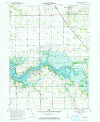
1969 Map of Somerset
USGS Topo · Published 1971About this map
Mississinewa Reservoir dominates the center of this 1969 landscape, where the rising waters of the Mississinewa River reshaped the valley's geography near the village of Somerset. The map documents the region's educational and social infrastructure, featuring Southwood High Sch and the campus of the White Institute. Genealogists will find the Mississinewa Memorial Cemetery and Martin Luther Cem recorded among the various townships of Waltz, Liberty, and Noble.
Find a feature on this map
44 named features on this map. Tap any name to fly to it.
Don’t see what you’re looking for? This feature index may not catch every label — zoom into the map to look around manually.
Map Details
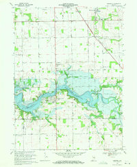
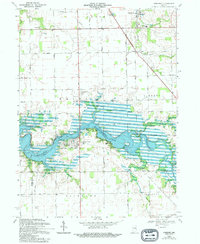
Editions of this 1969 Somerset Map
3 editions found
Other maps of this area

1950 · Lagro
USGS Topo · 1:24,000

1951 · Lagro
USGS Topo · 1:24,000

1951 · Richvalley
USGS Topo · 1:24,000

1952 · Wabash
USGS Topo · 1:24,000

1953 · La Fontaine
USGS Topo · 1:24,000

1953 · Somerset
USGS Topo · 1:24,000

1953 · Peoria
USGS Topo · 1:24,000

1953 · Muncie
USGS Topo · 1:250,000

1956 · Muncie
USGS Topo · 1:250,000

1961 · Marion
USGS Topo · 1:24,000