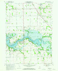
1969 Map of Somerset
USGS Topo · Published 1971About this map
The town of Somerset sits at the western edge of the expansive Mississinewa Reservoir, which dominates this 1969 landscape. This era marks a significant change for the region, where the reservoir's normal pool elevation of 737 feet has fundamentally altered the path of the Mississinewa River and its many tributaries, including Grant Creek and Tenmile Creek. The map documents the public use of this land following the reservoir's creation, highlighting recreational developments like Pearson Mill State Recreation Area and the Hogback Bridge State Rec Area.
Find a feature on this map
45 named features on this map. Tap any name to fly to it.
Don’t see what you’re looking for? This feature index may not catch every label — zoom into the map to look around manually.
Map Details
Editions of this 1969 Somerset Map
3 editions found
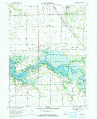
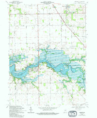
Other maps of this area

1950 · Lagro
USGS Topo · 1:24,000

1951 · Lagro
USGS Topo · 1:24,000

1951 · Richvalley
USGS Topo · 1:24,000

1952 · Wabash
USGS Topo · 1:24,000

1953 · La Fontaine
USGS Topo · 1:24,000

1953 · Somerset
USGS Topo · 1:24,000

1953 · Peoria
USGS Topo · 1:24,000

1953 · Muncie
USGS Topo · 1:250,000

1956 · Muncie
USGS Topo · 1:250,000

1961 · Marion
USGS Topo · 1:24,000