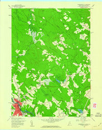
1958 Map of Somersworth
USGS Topo · Published 1960About this map
Somersworth stands as a focal point of industrial activity along the river border between New Hampshire and Maine during the late 1950s. The urban grid of the city, featuring streets such as Rochester St and High St, contrasts with the surrounding agricultural and timbered lands of Berwick. This landscape is defined by its water-powered history, evident in features like Cider Mill Pond and Beaver Dam Pond. The Boston and Maine Railroad serves as the primary transportation artery, linking the local manufacturing economy to the broader regional network.
Find a feature on this map
85 named features on this map. Tap any name to fly to it.
Don’t see what you’re looking for? This feature index may not catch every label — zoom into the map to look around manually.
Map Details
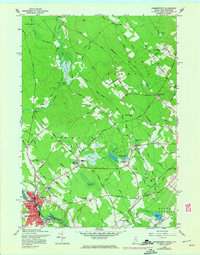
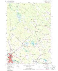
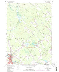
Editions of this 1958 Somersworth Map
4 editions found
Other maps of this area

1891 · Berwick
USGS Topo · 1:62,500

1891 · Kennebunk
USGS Topo · 1:62,500

1893 · Kennebunk
USGS Topo · 1:62,500

1893 · Dover
USGS Topo · 1:62,500

1893 · Berwick
USGS Topo · 1:62,500

1893 · York
USGS Topo · 1:62,500

1898 · Kennebunk
USGS Topo · 1:62,500

1916 · Dover
USGS Topo · 1:62,500

1918 · Dover
USGS Topo · 1:62,500

1920 · York
USGS Topo · 1:62,500