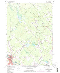
1958 Map of Somersworth
USGS Topo · Published 1988About this map
Somersworth, New Hampshire, and the neighboring settlement of Berwick, Maine, are divided by the Salmon Falls River in this detailed 1958 topographic survey. The industrial character of the river valley is evident at Foundry, while the surrounding hills like Abbott Hill and Estes Hill are marked by a dispersed network of rural landmarks. Genealogists will find numerous unnamed Cem sites scattered throughout the landscape, alongside community pillars such as the Oak Woods Ch and Beech Ridge Ch. Transportation infrastructure is a central theme, with the Boston and Maine Railroad and the B & M tracks following the terrain, connecting the urban centers to the agricultural hinterlands. The map also highlights smaller water bodies and marshes, including Beaver Dam Pond and Cranberry Meadow Brook, which influenced early road placements like Beech Ridge Road and Diamond Hill Road.
Find a feature on this map
73 named features on this map. Tap any name to fly to it.
Don’t see what you’re looking for? This feature index may not catch every label — zoom into the map to look around manually.
Map Details
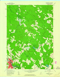
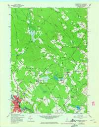
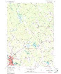
Editions of this 1958 Somersworth Map
4 editions found
Other maps of this area

1891 · Berwick
USGS Topo · 1:62,500

1891 · Kennebunk
USGS Topo · 1:62,500

1893 · Kennebunk
USGS Topo · 1:62,500

1893 · Dover
USGS Topo · 1:62,500

1893 · Berwick
USGS Topo · 1:62,500

1893 · York
USGS Topo · 1:62,500

1898 · Kennebunk
USGS Topo · 1:62,500

1916 · Dover
USGS Topo · 1:62,500

1918 · Dover
USGS Topo · 1:62,500

1920 · York
USGS Topo · 1:62,500