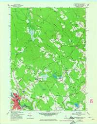
1958 Map of Somersworth
USGS Topo · Published 1974About this map
The Salmon Falls River serves as the industrial and civic heart of the region, separating Somersworth, New Hampshire, from Berwick, Maine. In this mid-century period, the landscape transitions from the dense street grids of the river towns to a patchwork of upland farms and timbered tracts. The presence of Mathews Millpond, Cider Mill Pond, and Beaver Dam Pond suggests a legacy of small-scale water management and milling that historically powered local activity.
Find a feature on this map
93 named features on this map. Tap any name to fly to it.
Don’t see what you’re looking for? This feature index may not catch every label — zoom into the map to look around manually.
Map Details
Editions of this 1958 Somersworth Map
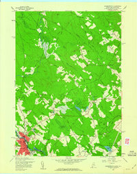
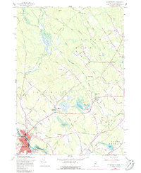
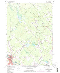
4 editions found
Other maps of this area

1891 · Berwick
USGS Topo · 1:62,500

1891 · Kennebunk
USGS Topo · 1:62,500

1893 · Kennebunk
USGS Topo · 1:62,500

1893 · Dover
USGS Topo · 1:62,500

1893 · Berwick
USGS Topo · 1:62,500

1893 · York
USGS Topo · 1:62,500

1898 · Kennebunk
USGS Topo · 1:62,500

1916 · Dover
USGS Topo · 1:62,500

1918 · Dover
USGS Topo · 1:62,500

1920 · York
USGS Topo · 1:62,500