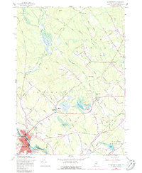
1958 Map of Somersworth
USGS Topo · Published 1988About this map
The Salmon Falls River serves as the state boundary between Berwick, Maine, and Somersworth, New Hampshire, anchoring a landscape shaped by early New England industry and transit. This 1958 survey, with revisions from the early 1970s, captures the tight-knit grid of the Foundry district and the influence of the Boston and Maine Railroad as it cuts through the river valley. Numerous family-named landmarks like Stackpole Bridge, Mathews Millpond, and Messenger Bridge reveal the deep genealogical roots of the area. Moving away from the river, the terrain transitions into the forested heights of Estes Hill and Windy Hill, where rural landmarks like Oak Woods Ch and the Grange Hall near Five Corners suggest a long-standing community structure based on local agricultural and social hubs.
Find a feature on this map
100 named features on this map. Tap any name to fly to it.
Don’t see what you’re looking for? This feature index may not catch every label — zoom into the map to look around manually.
Map Details
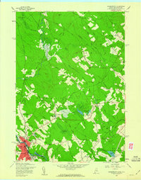
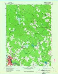
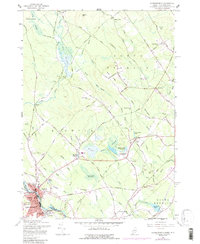
Editions of this 1958 Somersworth Map
4 editions found
Other maps of this area

1891 · Berwick
USGS Topo · 1:62,500

1891 · Kennebunk
USGS Topo · 1:62,500

1893 · Kennebunk
USGS Topo · 1:62,500

1893 · Dover
USGS Topo · 1:62,500

1893 · Berwick
USGS Topo · 1:62,500

1893 · York
USGS Topo · 1:62,500

1898 · Kennebunk
USGS Topo · 1:62,500

1916 · Dover
USGS Topo · 1:62,500

1918 · Dover
USGS Topo · 1:62,500

1920 · York
USGS Topo · 1:62,500