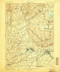
1905 Map of Somerville
USGS Topo · Published 1905About this map
Somerville and Raritan sit at the center of a complex industrial and transport corridor where the Raritan River meets the Delaware and Raritan Canal. In the early twentieth century, this landscape was defined by the intersection of water-powered industry and competing rail lines, including the Central Railroad of New Jersey and the Lehigh Valley Railroad. The northern terrain rises sharply into the First Watchung Mountain and Second Watchung Mountain, featuring landmarks like Chimney Rock and the drop of Pottersville Falls near the Hunterdon County line.
Find a feature on this map
103 named features on this map. Tap any name to fly to it.
Don’t see what you’re looking for? This feature index may not catch every label — zoom into the map to look around manually.
Map Details
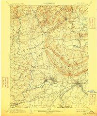
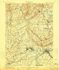
Editions of this 1905 Somerville Map
3 editions found
Other maps of this area

1888 · Plainfield
USGS Topo · 1:62,500

1888 · Morristown
USGS Topo · 1:62,500

1888 · Hackettstown
USGS Topo · 1:62,500

1888 · New Brunswick
USGS Topo · 1:62,500

1888 · Princeton
USGS Topo · 1:62,500

1888 · Lake Hopatcong
USGS Topo · 1:62,500

1890 · High Bridge
USGS Topo · 1:62,500

1890 · Lambertville
USGS Topo · 1:62,500

1891 · Somerville
USGS Topo · 1:62,500

1891 · Lambertville
USGS Topo · 1:62,500
Featured Places
- Franklin Township, NJ
- Piscataway Township, NJ
- Bridgewater Township, NJ
- Hillsborough Township, NJ
- Readington Township, NJ