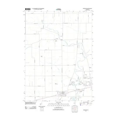
2012 Map of Somonauk
USGS Topo · Published 2012About this map
The village of Somonauk anchors the southern portion of this landscape, where the local economy transitions from organized street grids to the broad agricultural fields of northern Illinois. Waterways such as Somonauk Cr and its tributary Buck Br carve through the prairie, providing the natural drainage that defined early settlement patterns. This 2012 survey reveals a notable density of small-scale aviation facilities, including Sandwich Airport, George Airport, and the Warren Landing Strip, reflecting the region's modern utility for private flight alongside traditional farming.
Find a feature on this map
80 named features on this map. Tap any name to fly to it.
Don’t see what you’re looking for? This feature index may not catch every label — zoom into the map to look around manually.
Map Details
Editions of this 2012 Somonauk Map
This is the sole edition of this map. No revisions or reprints were ever made.
Other maps of this area

1934 · De Kalb
USGS Topo · 1:62,500

1937 · De Kalb
USGS Topo · 1:62,500

1937 · Sycamore
USGS Topo · 1:62,500

1948 · Sandwich
USGS Topo · 1:62,500

1950 · Sandwich
USGS Topo · 1:62,500

1951 · Earlville
USGS Topo · 1:62,500

1958 · Aurora
USGS Topo · 1:250,000

1961 · Aurora
USGS Topo · 1:250,000
1968 · Big Rock
USGS Topo · 1:24,000
1968 · Hinckley
USGS Topo · 1:24,000