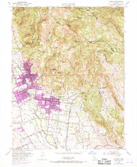
1951 Map of Sonoma
USGS Topo · Published 1969About this map
The Vallejo Home State Historical Monument and Mission San Francisco Solano Vineyard anchor this detailed study of the Sonoma Valley. The landscape reveals a transition from the historic Pueblo Lands of Sonoma to the burgeoning resort communities of Fetters Hot Springs, Boyes Hot Springs, and Agua Caliente. To the east, the topography rises sharply into the Napa County line, marked by elevations like Mt Pisgah and Bismark Knob.
Find a feature on this map
56 named features on this map. Tap any name to fly to it.
Don’t see what you’re looking for? This feature index may not catch every label — zoom into the map to look around manually.
Map Details
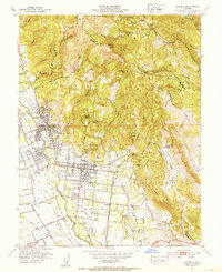
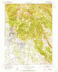
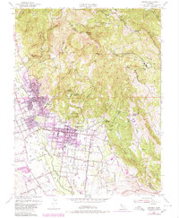
Editions of this 1951 Sonoma Map
4 editions found
Other maps of this area

1902 · Napa
USGS Topo · 1:125,000

1914 · Petaluma
USGS Topo · 1:62,500

1916 · Mare Island
USGS Topo · 1:62,500

1916 · Santa Rosa
USGS Topo · 1:62,500

1942 · Mare Island
USGS Topo · 1:62,500

1942 · Sonoma
USGS Topo · 1:62,500

1942 · Petaluma
USGS Topo · 1:62,500

1944 · Santa Rosa
USGS Topo · 1:62,500

1947 · Santa Rosa
USGS Topo · 1:250,000

1949 · Santa Rosa
USGS Topo · 1:250,000