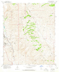
1964 Map of Sonora
USGS Topo · Published 1965About this map
Ray and Sonora anchor the western edge of this mid-1960s landscape, illustrating the industrial footprint of copper mining at the base of the Dripping Spring Mountains. The massive Ray Mine and its accompanying infrastructure, including a Railroad, substations, and a cemetery, reveal the scale of local extraction. The terrain is deeply cut by drainage systems like Mineral Creek and Dripping Spring Wash, which are fed by numerous named water sources such as Laguna Spring and Cottonwood Spring.
Find a feature on this map
68 named features on this map. Tap any name to fly to it.
Don’t see what you’re looking for? This feature index may not catch every label — zoom into the map to look around manually.
Map Details
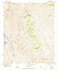
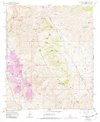
Editions of this 1964 Sonora Map
3 editions found
Other maps of this area

1900 · Florence
USGS Topo · 1:125,000

1901 · Globe
USGS Topo · 1:62,500

1902 · Globe
USGS Topo · 1:62,500

1902 · Florence
USGS Topo · 1:125,000

1910 · Ray
USGS Topo · 1:62,500

1948 · Pinal Ranch
USGS Topo · 1:24,000

1948 · Superior
USGS Topo · 1:62,500

1948 · Superior
USGS Topo · 1:24,000

1949 · Pinal Ranch
USGS Topo · 1:24,000

1949 · Superior
USGS Topo · 1:24,000