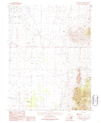
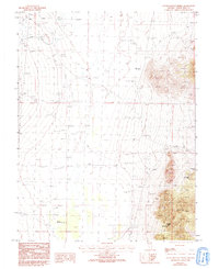
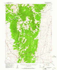
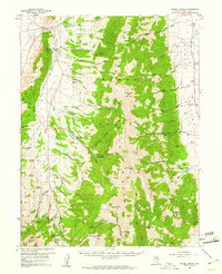
1986 Map of South Bastian Spring
USGS Topo · Published 1987About this map
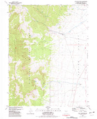
South Bastian Spring serves as a central landmark in this high-desert landscape of eastern Nevada during the late 1970s and early 1980s. The topography is defined by the transition from alluvial fans to the steep western slopes of the Snake Range, where natural formations such as Natural Arch, Rose Cave, and the Osceola Arch are documented. This area was actively utilized for both ranching and mineral exploration, evidenced by the network of 4wd tracks connecting remote sites.
Find a feature on this map
16 named features on this map. Tap any name to fly to it.
Don’t see what you’re looking for? This feature index may not catch every label — zoom into the map to look around manually.
Map Details
Editions of this 1986 South Bastian Spring Map
2 editions found
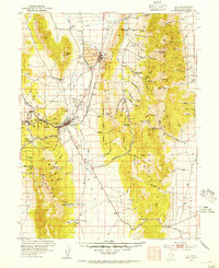
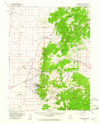
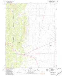
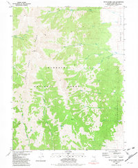
Other maps of this area
1952 · Ely
USGS Topo · 1:125,000

1956 · Ely
USGS Topo · 1:250,000

1959 · Ely
USGS Topo · 1:250,000
1959 · Sacramento Pass
USGS Topo · 1:62,500
1959 · Connors Pass
USGS Topo · 1:62,500
1959 · Schell Peaks
USGS Topo · 1:62,500

1963 · Ely
USGS Topo · 1:250,000
1981 · Majors Place
USGS Topo · 1:24,000
1981 · South Schell Peak
USGS Topo · 1:24,000
1981 · Cave Mountain
USGS Topo · 1:24,000