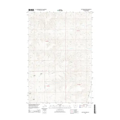
2014 Map of South Bear Creek
USGS Topo · Published 2014About this map
Whiskey Butte and Bulldog Butte dominate the high ground in this section of Treasure County, where the landscape is defined by a complex network of ephemeral drainages. The hydrologic pattern is shaped by W Bear Cr and South Bear Cr, which carve through the terrain alongside Crystal Cr and E Burnt Cr. Settlement is sparse, with the map primarily documenting the rural infrastructure of ranching country via primitive routes like Burnt Creek Rd, Ottun Ln, and Iron Spring Rd. The transition from the high buttes to the lower elevations of Hollister Coulee and Schrites Coulee illustrates the erosional forces typical of the Montana plains. Along the eastern edge, MT-384 runs parallel to Sarpy Cr, providing the primary north-south transit corridor through these township and range divisions.
Find a feature on this map
17 named features on this map. Tap any name to fly to it.
Don’t see what you’re looking for? This feature index may not catch every label — zoom into the map to look around manually.
Map Details
Editions of this 2014 South Bear Creek Map
This is the sole edition of this map. No revisions or reprints were ever made.
Other maps of this area

1954 · Hardin
USGS Topo · 1:250,000

1954 · Forsyth
USGS Topo · 1:250,000

1957 · Hardin
USGS Topo · 1:250,000

1957 · Forsyth
USGS Topo · 1:250,000

1958 · Forsyth
USGS Topo · 1:250,000

1958 · Hardin
USGS Topo · 1:250,000

1960 · Eldering Ranch
USGS Topo · 1:24,000

1960 · Hope Ranch
USGS Topo · 1:24,000

1972 · Hammond Ranch
USGS Topo · 1:24,000

1972 · Minnehaha Creek South
USGS Topo · 1:24,000