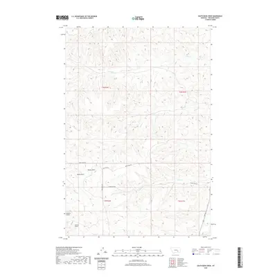
2020 Map of South Bear Creek
USGS Topo · Published 2020About this map
Eldering Ranch and Hammond Ranch anchor this landscape of Treasure County, where the high plains break into a network of steep coulees and isolated buttes. The terrain is defined by dry-land ranching and the intricate drainage patterns of W Bear Cr and S Bear Cr flowing through the northern townships. Notable high points like Whiskey Butte and Bulldog Butte provide distinct landmarks in an area dominated by deep erosion features, including Hollister Coulee and Schrites Coulee.
Find a feature on this map
26 named features on this map. Tap any name to fly to it.
Don’t see what you’re looking for? This feature index may not catch every label — zoom into the map to look around manually.
Map Details
Editions of this 2020 South Bear Creek Map
This is the sole edition of this map. No revisions or reprints were ever made.
Other maps of this area

1954 · Hardin
USGS Topo · 1:250,000

1954 · Forsyth
USGS Topo · 1:250,000

1957 · Hardin
USGS Topo · 1:250,000

1957 · Forsyth
USGS Topo · 1:250,000

1958 · Forsyth
USGS Topo · 1:250,000

1958 · Hardin
USGS Topo · 1:250,000

1960 · Eldering Ranch
USGS Topo · 1:24,000

1960 · Hope Ranch
USGS Topo · 1:24,000

1972 · Hammond Ranch
USGS Topo · 1:24,000

1972 · Minnehaha Creek South
USGS Topo · 1:24,000