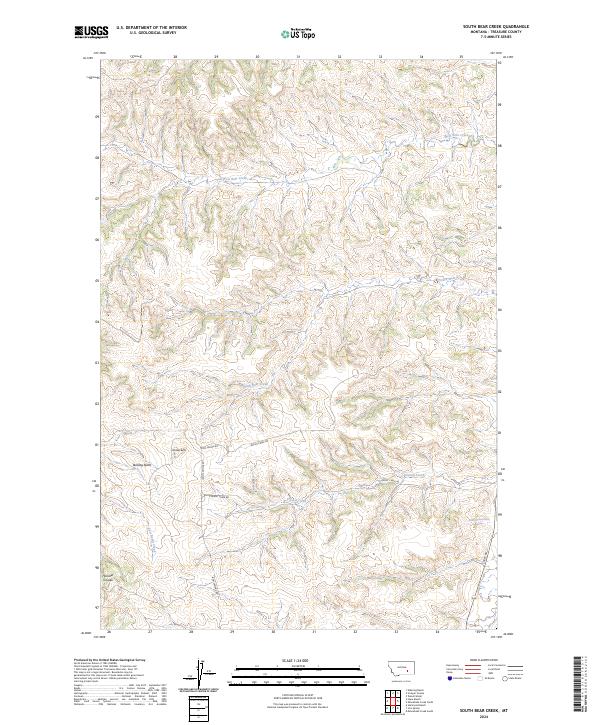
2024 Map of South Bear Creek
USGS Topo · Published 2024About this map
Whiskey Butte and Bulldog Butte dominate the high ground in this section of Treasure County, Montana. The landscape is defined by the drainage patterns of West Bear Creek and South Bear Creek, which carve through the terrain alongside Hollister Coulée. This modern survey illustrates a quiet, ranching-oriented environment where life follows the relief of the land. A limited network of primitive and local roads, including Iron Spring Rd and Burnt Creek Rd, connects the disparate parts of these townships. These routes likely serve local agricultural operations and provide access to features like the 03N37E09ACCB01 Spring. The map provides a clear picture of the hydrological network, including the headwaters of Crystal Creek and East Burnt Creek, in an area where water sources and topographic landmarks are essential for navigation and land management.
Find a feature on this map
17 named features on this map. Tap any name to fly to it.
Don’t see what you’re looking for? This feature index may not catch every label — zoom into the map to look around manually.
Map Details
Editions of this 2024 South Bear Creek Map
This is the sole edition of this map. No revisions or reprints were ever made.
Other maps of this area

1954 · Hardin
USGS Topo · 1:250,000

1954 · Forsyth
USGS Topo · 1:250,000

1957 · Hardin
USGS Topo · 1:250,000

1957 · Forsyth
USGS Topo · 1:250,000

1958 · Forsyth
USGS Topo · 1:250,000

1958 · Hardin
USGS Topo · 1:250,000

1960 · Eldering Ranch
USGS Topo · 1:24,000

1960 · Hope Ranch
USGS Topo · 1:24,000

1972 · Hammond Ranch
USGS Topo · 1:24,000

1972 · Minnehaha Creek South
USGS Topo · 1:24,000