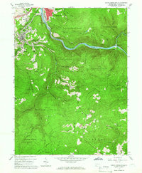
1964 Map of South Connellsville
USGS Topo · Published 1966About this map
South Connellsville and the surrounding Fayette County hills show a landscape shaped by coal extraction and heavy transit in the mid-1960s. The Youghiogheny River carves through the center, paralleled by a dense network of industrial corridors including the Baltimore and Ohio Railroad, Pennsylvania Railroad, and Western Maryland Railway. This confluence of rail supported local industry, evidenced by the numerous quarries and mines dotting the terrain near Furnace Hill and Dunbar.
Find a feature on this map
69 named features on this map. Tap any name to fly to it.
Don’t see what you’re looking for? This feature index may not catch every label — zoom into the map to look around manually.
Map Details
Editions of this 1964 South Connellsville Map
4 editions found
Other maps of this area

1900 · Uniontown
USGS Topo · 1:62,500

1902 · Connellsville
USGS Topo · 1:62,500

1922 · Confluence
USGS Topo · 1:62,500

1922 · Donegal
USGS Topo · 1:62,500

1931 · Connellsville
USGS Topo · 1:62,500

1931 · Uniontown
USGS Topo · 1:62,500

1931 · Confluence
USGS Topo · 1:62,500

1933 · Confluence
USGS Topo · 1:62,500

1935 · Donegal
USGS Topo · 1:62,500

1936 · Connellsville
USGS Topo · 1:62,500
Featured Places
- South Connellsville, PA
- Dunbar, PA
- Springfield Township, PA
- Reservoir Hill, PA
- Connellsville Township, PA