
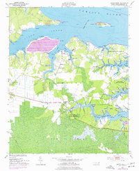
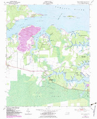
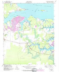
1950 Map of South Creek
USGS Topo · Published 1952About this map
The Pamlico River coastline and the intricate estuaries of Richland define this 1950s landscape, where the local economy and geography center on the tidal waters of South Creek. Small settlements like South Creek and Spring Creek are linked by rural routes such as Sandy Landing Road, serving a community anchored by country parishes like St Kets Church, Shady Grove Ch, and Reads Chapel. The presence of a Marine Railway at South Creek point to the area's maritime reliance, while large tracts of the eastern marshland are preserved within the Goose Creek State Game Refuge. To the south, the expansive and dense Gum Swamp forms a natural barrier, while Indian Island sits just offshore in the river. This survey captures a moment when family-named points like Tuthill Pt and Beargrass Pt still marked the transition from farmland to the water’s edge.
Find a feature on this map
90 named features on this map. Tap any name to fly to it.
Don’t see what you’re looking for? This feature index may not catch every label — zoom into the map to look around manually.
Map Details
Editions of this 1950 South Creek Map
4 editions found
Other maps of this area

1950 · Vandemere
USGS Topo · 1:24,000

1950 · Lowland
USGS Topo · 1:24,000

1950 · Jones Bay
USGS Topo · 1:24,000

1950 · Aurora
USGS Topo · 1:24,000

1951 · Bath
USGS Topo · 1:24,000

1951 · Ransomville
USGS Topo · 1:24,000

1951 · Pamlico Beach
USGS Topo · 1:24,000

1953 · Rocky Mount
USGS Topo · 1:250,000

1954 · Rocky Mount
USGS Topo · 1:250,000
1968 · Bayboro
USGS Topo · 1:24,000