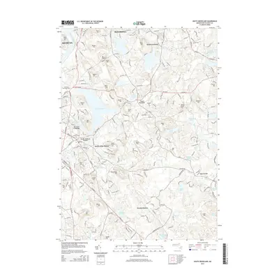
2015 Map of South Groveland
USGS Topo · Published 2015About this map
Lake Cochichewick and the winding Parker River define this corner of Essex County, where suburban development meets a landscape still deeply marked by its glacial past and early transit lines. In the mid-2010s, the area preserves its historical orientation through sites like North Andover Center and West Boxford. The map reveals the legacy of old transportation corridors at Marble Ridge Station and Boxford Station, which once served as vital links for the small villages and outlying farms.
Find a feature on this map
214 named features on this map. Tap any name to fly to it.
Don’t see what you’re looking for? This feature index may not catch every label — zoom into the map to look around manually.
Map Details
Editions of this 2015 South Groveland Map
This is the sole edition of this map. No revisions or reprints were ever made.
Other maps of this area

1886 · Lawrence
USGS Topo · 1:62,500

1888 · Newburyport
USGS Topo · 1:62,500

1888 · Haverhill
USGS Topo · 1:62,500

1888 · Lawrence
USGS Topo · 1:62,500

1888 · Salem
USGS Topo · 1:62,500

1890 · Haverhill
USGS Topo · 1:62,500

1890 · Newburyport
USGS Topo · 1:62,500

1893 · Salem
USGS Topo · 1:62,500

1893 · Lawrence
USGS Topo · 1:62,500

1893 · Haverhill
USGS Topo · 1:62,500