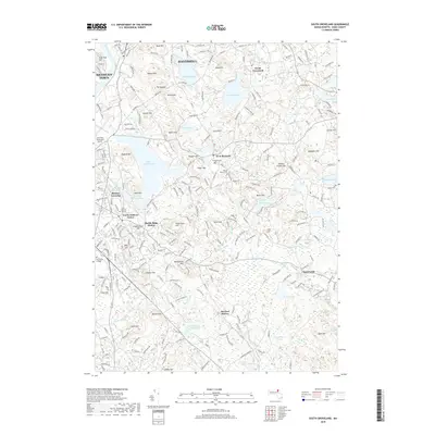
2018 Map of South Groveland
USGS Topo · Published 2018About this map
Merrimack College and the surrounding neighborhoods of North Andover Center characterize the western reaches of this Essex County landscape. The area is defined by a dense network of glacial hills and kettle ponds, where Lake Cochichewick and Johnsons Pond serve as central landmarks. Settlement patterns reflect the long history of the Merrimack Valley, with established community centers at South Groveland and West Boxford connected by winding roads that respect the drumlin-dotted terrain.
Find a feature on this map
249 named features on this map. Tap any name to fly to it.
Don’t see what you’re looking for? This feature index may not catch every label — zoom into the map to look around manually.
Map Details
Editions of this 2018 South Groveland Map
This is the sole edition of this map. No revisions or reprints were ever made.
Other maps of this area

1886 · Lawrence
USGS Topo · 1:62,500

1888 · Newburyport
USGS Topo · 1:62,500

1888 · Haverhill
USGS Topo · 1:62,500

1888 · Lawrence
USGS Topo · 1:62,500

1888 · Salem
USGS Topo · 1:62,500

1890 · Haverhill
USGS Topo · 1:62,500

1890 · Newburyport
USGS Topo · 1:62,500

1893 · Salem
USGS Topo · 1:62,500

1893 · Lawrence
USGS Topo · 1:62,500

1893 · Haverhill
USGS Topo · 1:62,500