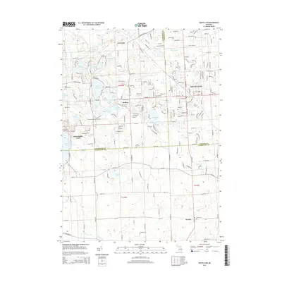
2014 Map of South Lyon
USGS Topo · Published 2014About this map
South Lyon and the surrounding lakelands of southeastern Michigan are shown here at a moment of transition from rural townships to suburban communities. The landscape is defined by its glacial hydrology, with a dense network of water bodies including Whitmore Lake, Silver Lake, and Green Oak Lake connected by the winding Huron River and Davis Creek. For genealogists and local historians, the sheet is exceptionally well-marked with burial grounds such as the Old Irish Cem, Rose Cem, and Hayes Cem, which pinpoint the locations of early area families and church congregations. The settlement pattern follows the established section lines and early thoroughfares like Silver Lake Rd and 10 Mile Rd, linking the primary hubs of Green Oak, Rushton, and the town of Worden across the tri-county boundary where Livingston, Oakland, and Washtenaw meet.
Find a feature on this map
201 named features on this map. Tap any name to fly to it.
Don’t see what you’re looking for? This feature index may not catch every label — zoom into the map to look around manually.
Map Details
Editions of this 2014 South Lyon Map
This is the sole edition of this map. No revisions or reprints were ever made.
Other maps of this area

1902 · South Lyon
USGS Topo · 1:62,500

1902 · Dexter
USGS Topo · 1:62,500

1904 · Ann Arbor
USGS Topo · 1:125,000

1906 · Dexter
USGS Topo · 1:62,500

1906 · South Lyon
USGS Topo · 1:62,500

1907 · Howell
USGS Topo · 1:62,500

1908 · Ann Arbor
USGS Topo · 1:125,000

1909 · Howell
USGS Topo · 1:62,500

1909 · Milford
USGS Topo · 1:62,500

1936 · Wixom
USGS Topo · 1:31,680
Featured Places
- Lyon Charter Township, MI
- Green Oak Charter Township, MI
- South Lyon, MI
- Northfield Township, MI
- Whitmore Lake, Green Oak Charter Township