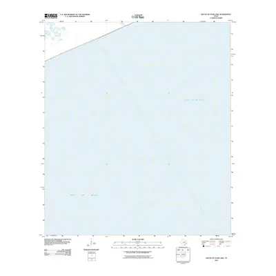
2010 Map of South of Star Lake
USGS Topo · Published 2010About this map
The Gulf of Mexico dominates this coastal survey, which captures the open waters off the Texas shoreline in Jefferson County. Published by the U.S. Geological Survey using 2009 imagery, the map focuses on the marine environment south of the mainland. The absence of land-based features like roads or buildings highlights the maritime focus of the quadrangle, serving as a clean coordinate reference for the waters just off the coast. This 2010 edition provides a precise look at the sea boundaries and nautical grid during a period of modern coastal monitoring before significant shifts in the regional coastline occurred.
Find a feature on this map
1 named feature on this map. Tap any name to fly to it.
Don’t see what you’re looking for? This feature index may not catch every label — zoom into the map to look around manually.
Map Details
Editions of this 2010 South of Star Lake Map
This is the sole edition of this map. No revisions or reprints were ever made.
Other maps of this area

1950 · Houston
USGS Topo · 1:250,000

1956 · Houston
USGS Topo · 1:250,000

1961 · Star Lake
USGS Topo · 1:24,000

1961 · Mud Lake
USGS Topo · 1:24,000
1961 · Clam Lake
USGS Topo · 1:24,000
1962 · Whites Ranch
USGS Topo · 1:24,000
1962 · South of Star Lake
USGS Topo · 1:24,000

1975 · Houston
USGS Topo · 1:250,000
1983 · Galveston
USGS Topo · 1:100,000
1983 · Anahuac
USGS Topo · 1:100,000