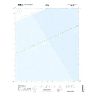
2019 Map of South of Star Lake
USGS Topo · Published 2019About this map
Gulf of Mexico waters dominate this coastal survey south of the mainland in Jefferson County. The map focuses almost entirely on the marine environment where the jurisdiction of Texas extends into the sea. Lacking terrestrial landmarks or shorelines, the sheet serves as a pure record of bathymetric extent and maritime boundaries in the late 2010s. It provides a specialized perspective for those studying the precise offshore limits and nautical positioning of the Lone Star State in this specific sector of the coast.
Find a feature on this map
2 named features on this map. Tap any name to fly to it.
Don’t see what you’re looking for? This feature index may not catch every label — zoom into the map to look around manually.
Map Details
Editions of this 2019 South of Star Lake Map
This is the sole edition of this map. No revisions or reprints were ever made.
Other maps of this area

1950 · Houston
USGS Topo · 1:250,000

1956 · Houston
USGS Topo · 1:250,000

1961 · Star Lake
USGS Topo · 1:24,000

1961 · Mud Lake
USGS Topo · 1:24,000
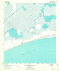
1961 · Clam Lake
USGS Topo · 1:24,000
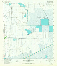
1962 · Whites Ranch
USGS Topo · 1:24,000
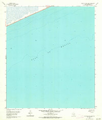
1962 · South of Star Lake
USGS Topo · 1:24,000

1975 · Houston
USGS Topo · 1:250,000
1983 · Galveston
USGS Topo · 1:100,000
1983 · Anahuac
USGS Topo · 1:100,000