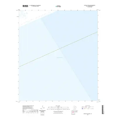
2022 Map of South of Star Lake
USGS Topo · Published 2022About this map
The Gulf of Mexico dominates this coastal landscape in Jefferson County, marking the transition from the Texas shoreline into the open sea. As part of a 2022 survey, this map focuses almost entirely on the maritime expanse, providing a precise geographic reference for the waters south of the coastal marshes. Because it covers a section of the near-shore environment where elevation data did not meet standard requirements, the sheet remains a clear cartographic record of the marine boundaries and the maritime shelf of the Upper Texas Coast.
Find a feature on this map
1 named feature on this map. Tap any name to fly to it.
Don’t see what you’re looking for? This feature index may not catch every label — zoom into the map to look around manually.
Map Details
Editions of this 2022 South of Star Lake Map
This is the sole edition of this map. No revisions or reprints were ever made.
Other maps of this area

1950 · Houston
USGS Topo · 1:250,000

1956 · Houston
USGS Topo · 1:250,000

1961 · Star Lake
USGS Topo · 1:24,000

1961 · Mud Lake
USGS Topo · 1:24,000
1961 · Clam Lake
USGS Topo · 1:24,000
1962 · Whites Ranch
USGS Topo · 1:24,000
1962 · South of Star Lake
USGS Topo · 1:24,000

1975 · Houston
USGS Topo · 1:250,000
1983 · Galveston
USGS Topo · 1:100,000
1983 · Anahuac
USGS Topo · 1:100,000