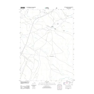
2012 Map of South Pass City
USGS Topo · Published 2012About this map
South Pass City stands as the central hub of this Fremont County landscape, situated at the confluence of several primitive and local routes that speak to its mining and pioneer history. The map detail highlights the rugged drainages of the Continental Divide region, where Little Hermit Gulch and Big Hermit Gulch descend toward Willow Cr. In the southern reaches, the Sweetwater River carves its path, a legendary waterway for westward migration.
Find a feature on this map
18 named features on this map. Tap any name to fly to it.
Don’t see what you’re looking for? This feature index may not catch every label — zoom into the map to look around manually.
Map Details
Editions of this 2012 South Pass City Map
This is the sole edition of this map. No revisions or reprints were ever made.
Other maps of this area

1953 · Atlantic City
USGS Topo · 1:24,000

1953 · Louis Lake
USGS Topo · 1:24,000

1953 · South Pass City
USGS Topo · 1:24,000

1953 · Christina Lake
USGS Topo · 1:24,000

1954 · Miners Delight
USGS Topo · 1:24,000

1955 · Lander
USGS Topo · 1:250,000

1958 · Lander
USGS Topo · 1:250,000

1958 · Pacific Springs
USGS Topo · 1:24,000

1958 · Dickie Springs
USGS Topo · 1:24,000

1958 · Continental Peak
USGS Topo · 1:24,000