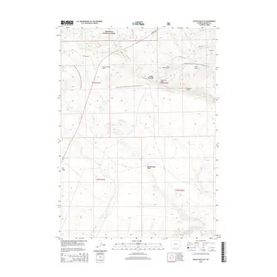
2015 Map of South Pass City
USGS Topo · Published 2015About this map
South Pass City sits at the heart of this landscape, where the high-altitude terrain is defined by a dense network of watercourses and mineral-rich gulches. The settlement's layout is centered on S Pass Main St, serving as a gateway to the southern reaches of the Shoshone National Forest. This 2015 survey reveals the rugged character of the area, punctuated by colorfully named landforms like Slaughterhouse Gulch, Big Hermit Gulch, and Palmetto Gulch. To the south, the Erramouspe Place provides a specific point of genealogical interest along the drainages of Pine Cr. Modern recreation is represented by the Continental Divide National Scenic Trail, which winds across the northern half of the quadrangle. The map also traces the Sweetwater River in the extreme south, illustrating the drainage patterns that shaped early exploration and settlement in this part of Wyoming.
Find a feature on this map
27 named features on this map. Tap any name to fly to it.
Don’t see what you’re looking for? This feature index may not catch every label — zoom into the map to look around manually.
Map Details
Editions of this 2015 South Pass City Map
This is the sole edition of this map. No revisions or reprints were ever made.
Other maps of this area

1953 · Atlantic City
USGS Topo · 1:24,000

1953 · Louis Lake
USGS Topo · 1:24,000

1953 · South Pass City
USGS Topo · 1:24,000

1953 · Christina Lake
USGS Topo · 1:24,000

1954 · Miners Delight
USGS Topo · 1:24,000

1955 · Lander
USGS Topo · 1:250,000

1958 · Lander
USGS Topo · 1:250,000

1958 · Pacific Springs
USGS Topo · 1:24,000

1958 · Dickie Springs
USGS Topo · 1:24,000

1958 · Continental Peak
USGS Topo · 1:24,000