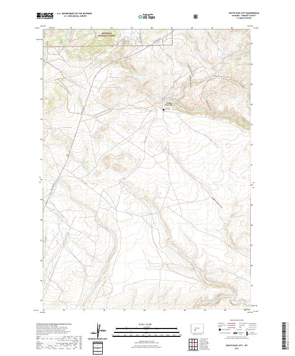
2021 Map of South Pass City
USGS Topo · Published 2021About this map
South Pass City stands as the central landmark in this high-altitude landscape of Fremont County, situated along the winding banks of Willow Cr. The area is defined by a dense network of watercourses and topographical depressions, including Little Hermit Gulch and Slaughterhouse Gulch, which drain toward the Sweetwater River in the south. The human footprint on this terrain is marked by early infrastructure like the Blair Ditch and the South Pass City Cem, alongside modern recreational routes. The Continental Divide National Scenic Trl traverses the northern reaches, cutting through sections of the Shoshone National Forest. This survey captures the intersection of Wyoming's mining-era heritage and its rugged conservation lands, where historic roads like Pickaxe Rd and S Pass City Rd provide access to the remote gulches and creek beds that once drove local industry.
Find a feature on this map
26 named features on this map. Tap any name to fly to it.
Don’t see what you’re looking for? This feature index may not catch every label — zoom into the map to look around manually.
Map Details
Editions of this 2021 South Pass City Map
This is the sole edition of this map. No revisions or reprints were ever made.
Other maps of this area

1953 · Atlantic City
USGS Topo · 1:24,000

1953 · Louis Lake
USGS Topo · 1:24,000

1953 · South Pass City
USGS Topo · 1:24,000

1953 · Christina Lake
USGS Topo · 1:24,000

1954 · Miners Delight
USGS Topo · 1:24,000

1955 · Lander
USGS Topo · 1:250,000

1958 · Lander
USGS Topo · 1:250,000

1958 · Pacific Springs
USGS Topo · 1:24,000

1958 · Dickie Springs
USGS Topo · 1:24,000

1958 · Continental Peak
USGS Topo · 1:24,000