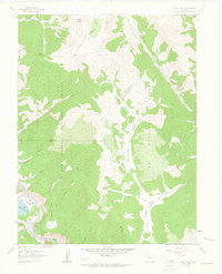
1961 Map of South Peak
USGS Topo · Published 1963About this map
South Peak stands as the prominent landmark at the intersection of Park, Lake, and Chaffee counties in this 1961 survey. The landscape is defined by the high-altitude divide between the Arkansas River to the west and the headwaters of the South Fork South Platte River to the east. Transportation history is visible in the southwestern corner, where the Denver and Rio Grande Western rail line follows the river corridor near the settlement of Columbia, complemented by an Old Railroad Grade nearby.
Find a feature on this map
32 named features on this map. Tap any name to fly to it.
Don’t see what you’re looking for? This feature index may not catch every label — zoom into the map to look around manually.
Map Details
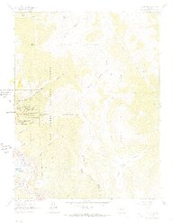
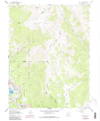
Editions of this 1961 South Peak Map
3 editions found
Other maps of this area

1889 · Leadville
USGS Topo · 1:125,000

1891 · Leadville
USGS Topo · 1:125,000

1935 · Mount Elbert
USGS Topo · 1:62,500

1938 · Mount Elbert
USGS Topo · 1:62,500

1939 · Mount Elbert
USGS Topo · 1:62,500

1942 · Leadville
USGS Topo · 1:125,000

1955 · Buena Vista
USGS Topo · 1:62,500

1955 · Mount Harvard
USGS Topo · 1:62,500

1956 · Montrose
USGS Topo · 1:250,000

1957 · Leadville
USGS Topo · 1:250,000