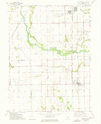
1971 Map of South Pekin
USGS Topo · Published 1973About this map
The Mackinaw River snakes across a landscape defined by the sandy flats of Sand Prairie and the productive bottomlands of Spring Lake. This early 1970s survey captures the agricultural heart of central Illinois, where the villages of South Pekin and Green Valley serve as anchors for the surrounding farmsteads. The terrain is marked by distinctive glacial features like The Mound and Little Mound, which stand in contrast to the engineered drainage of the Quiver Ditch system.
Find a feature on this map
33 named features on this map. Tap any name to fly to it.
Don’t see what you’re looking for? This feature index may not catch every label — zoom into the map to look around manually.
Map Details
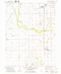
Editions of this 1971 South Pekin Map
2 editions found
Other maps of this area

1905 · Peoria
USGS Topo · 1:62,500

1927 · Peoria
USGS Topo · 1:62,500

1929 · Manito
USGS Topo · 1:62,500

1930 · Glasford
USGS Topo · 1:62,500

1932 · Manito
USGS Topo · 1:62,500

1942 · Delavan
USGS Topo · 1:62,500

1948 · Glasford
USGS Topo · 1:62,500

1958 · Peoria
USGS Topo · 1:250,000

1960 · Marquette Heights
USGS Topo · 1:24,000

1960 · Pekin
USGS Topo · 1:24,000