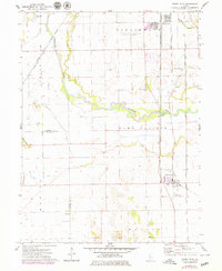
1971 Map of South Pekin
USGS Topo · Published 1979About this map
The Mackinaw River meanders across this central Illinois landscape, carving a complex path through the expansive Sand Prairie and Malone regions. This 1970s survey captures a transition point for the local rail infrastructure, showing the Chicago and North Western and Illinois Central Gulf lines intersecting near South Pekin and Green Valley. The presence of the Pekin Municipal Airport and residential growth, highlighted in purple revisions from 1977, contrasts with the older rural landmarks that define the area's heritage.
Find a feature on this map
33 named features on this map. Tap any name to fly to it.
Don’t see what you’re looking for? This feature index may not catch every label — zoom into the map to look around manually.
Map Details
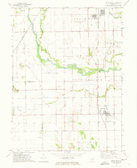
Editions of this 1971 South Pekin Map
2 editions found
Other maps of this area

1905 · Peoria
USGS Topo · 1:62,500

1927 · Peoria
USGS Topo · 1:62,500

1929 · Manito
USGS Topo · 1:62,500

1930 · Glasford
USGS Topo · 1:62,500

1932 · Manito
USGS Topo · 1:62,500

1942 · Delavan
USGS Topo · 1:62,500

1948 · Glasford
USGS Topo · 1:62,500

1958 · Peoria
USGS Topo · 1:250,000

1960 · Marquette Heights
USGS Topo · 1:24,000

1960 · Pekin
USGS Topo · 1:24,000