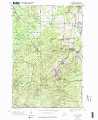
1946 Map of South Range
USGS Topo · Published 1976About this map
Copper Country mining settlements and industrial infrastructure define this landscape in the mid-1970s, based on a 1946 foundation. The area south of Houghton showcases a dense corridor of mining history along the Railroad, where towns like South Range, Trimountain, and Painesdale are closely linked by the extraction industry. Significant landmarks of this era include the Champion Mine and the Globe Mine, alongside the Mountain View Cem and the Trimountain Fire Tower atop the local heights. Beyond the industrial zones, the western and southern reaches of Stanton, Adams, and Portage townships give way to a dense network of water bodies, including Lake Perrault, Obenhoff Lake, and the winding Salmon Trout River. An Old Railroad Grade traces the former paths of industry through the woodlands, providing a detailed record of the changing transportation patterns in the Keweenaw Peninsula.
Find a feature on this map
25 named features on this map. Tap any name to fly to it.
Don’t see what you’re looking for? This feature index may not catch every label — zoom into the map to look around manually.
Map Details
Editions of this 1946 South Range Map
3 editions found
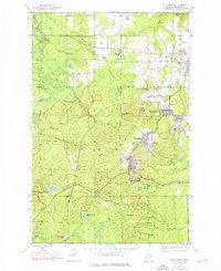
Other maps of this area

1915 · Houghton
USGS Topo · 1:62,500

1946 · Hancock
USGS Topo · 1:24,000

1946 · Chassell
USGS Topo · 1:24,000

1946 · South Range
USGS Topo · 1:24,000

1948 · South Range
USGS Topo · 1:24,000

1948 · Hancock
USGS Topo · 1:24,000

1948 · Chassell
USGS Topo · 1:24,000

1954 · Graveraet River
USGS Topo · 1:24,000

1954 · Oskar
USGS Topo · 1:24,000

1954 · Beacon Hill
USGS Topo · 1:24,000