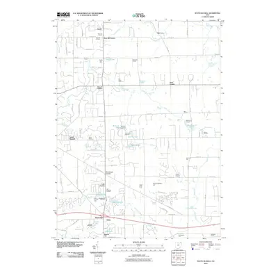
2010 Map of South Russell
USGS Topo · Published 2010About this map
Chagrin River and its various tributaries, including Silver Creek, McFarland Creek, and Bridge Creek, define the landscape of this portion of Geauga County. The 2010 geography reveals a transition from the established village of South Russell toward more localized clusters such as Russell Center, Novelty, and Bainbridge. The area is notably dense with small private aviation and recreational sites, featuring the Rataiczak Airport, Auburn Airport, and the Derecksky Airport, alongside youth-oriented spaces like Red Raider Camp and Red Wing Camp.
Find a feature on this map
96 named features on this map. Tap any name to fly to it.
Don’t see what you’re looking for? This feature index may not catch every label — zoom into the map to look around manually.
Map Details
Editions of this 2010 South Russell Map
This is the sole edition of this map. No revisions or reprints were ever made.
Other maps of this area

1904 · Chardon
USGS Topo · 1:62,500

1905 · Garrettsville
USGS Topo · 1:62,500

1905 · Mentor
USGS Topo · 1:62,500

1906 · Chardon
USGS Topo · 1:62,500

1906 · Chagrin Falls
USGS Topo · 1:62,500

1907 · Garrettsville
USGS Topo · 1:62,500

1907 · Mentor
USGS Topo · 1:62,500

1908 · Chagrin Falls
USGS Topo · 1:62,500

1950 · Cleveland
USGS Topo · 1:250,000

1953 · Chardon
USGS Topo · 1:24,000