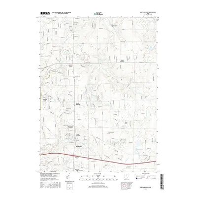
2016 Map of South Russell
USGS Topo · Published 2016About this map
Chagrin River meanders through the western reaches of this Geauga County landscape, anchoring a series of communities from Novelty and Russell Center south toward Bainbridge. This 2016 survey documents a region defined by its numerous small water bodies, including Paw Paw Lake, Lake Lucerne, and Tanglewood Lake, which illustrate the suburban-residential transition of this part of Ohio. Genealogy researchers will find significant value in the documentation of several local burial grounds, such as Riverview Cem in the north and Old Bainbridge Cem further south. The map also highlights local infrastructure like the Rataiczak Airport and Auburn Airport, reflecting the aviation needs of the area. Terrain features like McConougheys Hill rise above the drainage of McFarland Cr and Silver Cr, providing a detailed look at the local topography as it existed in the mid-2010s.
Find a feature on this map
50 named features on this map. Tap any name to fly to it.
Don’t see what you’re looking for? This feature index may not catch every label — zoom into the map to look around manually.
Map Details
Editions of this 2016 South Russell Map
This is the sole edition of this map. No revisions or reprints were ever made.
Other maps of this area

1904 · Chardon
USGS Topo · 1:62,500

1905 · Garrettsville
USGS Topo · 1:62,500

1905 · Mentor
USGS Topo · 1:62,500

1906 · Chardon
USGS Topo · 1:62,500

1906 · Chagrin Falls
USGS Topo · 1:62,500

1907 · Garrettsville
USGS Topo · 1:62,500

1907 · Mentor
USGS Topo · 1:62,500

1908 · Chagrin Falls
USGS Topo · 1:62,500

1950 · Cleveland
USGS Topo · 1:250,000

1953 · Chardon
USGS Topo · 1:24,000