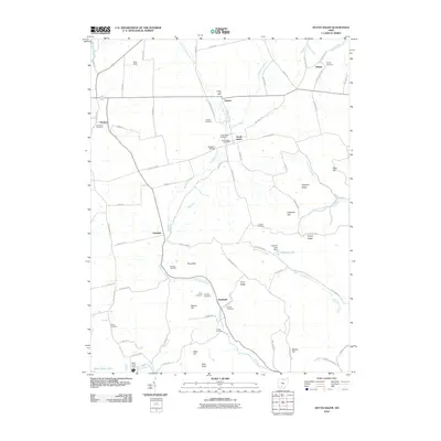
2010 Map of South Salem
USGS Topo · Published 2010About this map
South Salem and Lyndon serve as central points in this rural landscape of southern Ohio, where small settlements are linked by a network of creeks and ridges. The topography is defined by the winding course of Buckskin Creek and its tributaries, including North Fork Buckskin Creek and Slate Run. Genealogists will find a wealth of burial sites scattered throughout the area, from the Old Stone Cemetery near Thrifton to the Hixson Cemetery and Weller Cemetery. The presence of both the South Salem Post Office and Lyndon Post Office suggests the continued role of these communities as local hubs. Water management is evident in the south and east with the Paint Creek Dam on Paint Creek Lake and the Crawley Lake Dam. Prominent high points such as Dolphins Ridge, Pricer Ridge, and Bald Knob rise above the valleys, while Buckskin Bridge remains a key crossing for local transit between the hills.
Find a feature on this map
85 named features on this map. Tap any name to fly to it.
Don’t see what you’re looking for? This feature index may not catch every label — zoom into the map to look around manually.
Map Details
Editions of this 2010 South Salem Map
This is the sole edition of this map. No revisions or reprints were ever made.
Other maps of this area

1912 · Roxabell
USGS Topo · 1:62,500

1914 · Roxabell
USGS Topo · 1:62,500

1915 · Bainbridge
USGS Topo · 1:48,000

1915 · Piketon
USGS Topo · 1:62,500

1917 · Bainbridge
USGS Topo · 1:62,500

1917 · Piketon
USGS Topo · 1:62,500

1917 · Greenfield
USGS Topo · 1:62,500

1944 · Piketon
USGS Topo · 1:62,500

1944 · Greenfield
USGS Topo · 1:62,500

1944 · Roxabell
USGS Topo · 1:62,500