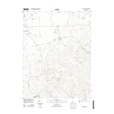
2013 Map of South Salem
USGS Topo · Published 2013About this map
South Salem and the surrounding agricultural valleys of Ross Co and Highland Co are defined by the winding course of Buckskin Creek. This early 21st-century landscape is characterized by a dense concentration of family-named cemeteries and established farmsteads, including Barton Farms, Blueberry Hill Farm, and Shoemaker Farm. The settlement pattern follows the local topography, with communities like Lyndon and Thrifton positioned near major transit routes such as Oh-28.
Find a feature on this map
87 named features on this map. Tap any name to fly to it.
Don’t see what you’re looking for? This feature index may not catch every label — zoom into the map to look around manually.
Map Details
Editions of this 2013 South Salem Map
This is the sole edition of this map. No revisions or reprints were ever made.
Other maps of this area

1912 · Roxabell
USGS Topo · 1:62,500

1914 · Roxabell
USGS Topo · 1:62,500

1915 · Bainbridge
USGS Topo · 1:48,000

1915 · Piketon
USGS Topo · 1:62,500

1917 · Bainbridge
USGS Topo · 1:62,500

1917 · Piketon
USGS Topo · 1:62,500

1917 · Greenfield
USGS Topo · 1:62,500

1944 · Piketon
USGS Topo · 1:62,500

1944 · Greenfield
USGS Topo · 1:62,500

1944 · Roxabell
USGS Topo · 1:62,500