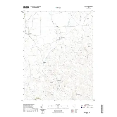
2019 Map of South Salem
USGS Topo · Published 2019About this map
Buckskin Creek and its many tributaries, including Lower Twin Cr and Slate Run, carve through the complex terrain of the Ross and Highland County border. This area is characterized by a high density of family and community burial grounds, such as Satchel Cem, Nuckols Cem, and the Old Stone Cem near Greenfield. The settlement pattern follows the valley floors and higher ridges, with small hubs like South Salem and Lyndon established along the primary road networks. The southern reaches of the map are defined by prominent elevations like Bald Knob and Pricer Ridge, while the landscape is dotted with smaller locales such as Humboldt and Fruitdale. These features illustrate a rural community where historical property lines and local geography are deeply intertwined with the drainage patterns of the North Fork Buckskin Creek.
Find a feature on this map
96 named features on this map. Tap any name to fly to it.
Don’t see what you’re looking for? This feature index may not catch every label — zoom into the map to look around manually.
Map Details
Editions of this 2019 South Salem Map
This is the sole edition of this map. No revisions or reprints were ever made.
Other maps of this area

1912 · Roxabell
USGS Topo · 1:62,500

1914 · Roxabell
USGS Topo · 1:62,500

1915 · Bainbridge
USGS Topo · 1:48,000

1915 · Piketon
USGS Topo · 1:62,500

1917 · Bainbridge
USGS Topo · 1:62,500

1917 · Piketon
USGS Topo · 1:62,500

1917 · Greenfield
USGS Topo · 1:62,500

1944 · Piketon
USGS Topo · 1:62,500

1944 · Greenfield
USGS Topo · 1:62,500

1944 · Roxabell
USGS Topo · 1:62,500