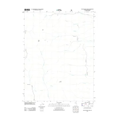
2012 Map of South Schell Peak
USGS Topo · Published 2012About this map
South Schell Peak and Taft Peak define the high ridgelines of this White Pine County landscape, where deep drainage systems like Taft Canyon and Kraft Canyon have carved out a complex topography. This 2012 survey illustrates a wilderness defined by water distribution, with numerous named streams including N Fork Cleve Cr and Vipont Cr feeding into larger systems. Remote roads such as Fera Ninetysix and Fera One Hundred Six navigate the terrain, providing access to essential water sources like North Cleve Spring and Pete Spring. The map documents a period of modern land management within the Schell Creek Range, highlighting the intersection of named summits like Black Mountain with a network of seasonal creeks like Stephens Cr and S Taft Cr. It is a detailed record of the high-altitude water sources and drainage patterns critical to this arid Nevada region.
Find a feature on this map
23 named features on this map. Tap any name to fly to it.
Don’t see what you’re looking for? This feature index may not catch every label — zoom into the map to look around manually.
Map Details
Editions of this 2012 South Schell Peak Map
This is the sole edition of this map. No revisions or reprints were ever made.
Other maps of this area

1952 · Ely
USGS Topo · 1:125,000

1956 · Ely
USGS Topo · 1:250,000

1959 · Ely
USGS Topo · 1:250,000

1959 · Sacramento Pass
USGS Topo · 1:62,500

1959 · Connors Pass
USGS Topo · 1:62,500

1959 · Schell Peaks
USGS Topo · 1:62,500

1963 · Ely
USGS Topo · 1:250,000

1981 · North Schell Peak
USGS Topo · 1:24,000

1981 · Duck Creek Valley
USGS Topo · 1:24,000
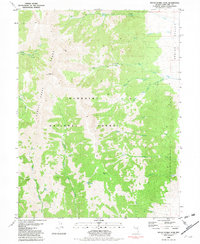
1981 · South Schell Peak
USGS Topo · 1:24,000