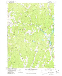
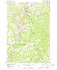
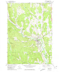
1981 Map of South Strafford
USGS Topo · Published 1981This historical map portrays the area of South Strafford in 1981, primarily covering Orange County as well as portions of Windsor County. Featuring a scale of 1:24000, this map provides a highly detailed snapshot of the terrain, roads, buildings, counties, and historical landmarks in the South Strafford region at the time. Published in 1981, it is one of 2 known editions of this map due to revisions or reprints.
Find a feature on this map
67 named features on this map. Tap any name to fly to it.
Don’t see what you’re looking for? This feature index may not catch every label — zoom into the map to look around manually.
Map Details
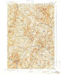
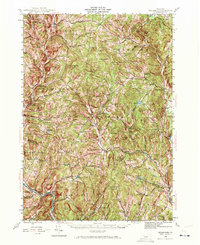
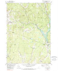
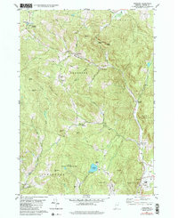
Editions of this 1981 South Strafford Map
2 editions found
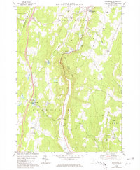
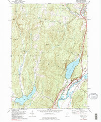
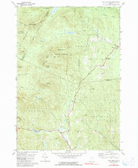
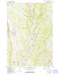
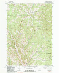
Historical Maps of Orange County Through Time
26 maps found
1896 Strafford
Orange County, VT
1944 Strafford
Orange County, VT

1947 Corinth
Orange County, VT

1973 East Corinth
Orange County, VT
1980 Brookfield
Orange County, VT
1981 Chelsea
Orange County, VT
1981 Fairlee
Orange County, VT
1981 Knox Mountain
Orange County, VT
1981 Randolph Center
Orange County, VT
1981 Randolph
Orange County, VT
1981 South Strafford
Orange County, VT
1981 Vershire
Orange County, VT
1981 Washington
Orange County, VT

1981 West Topsham
Orange County, VT
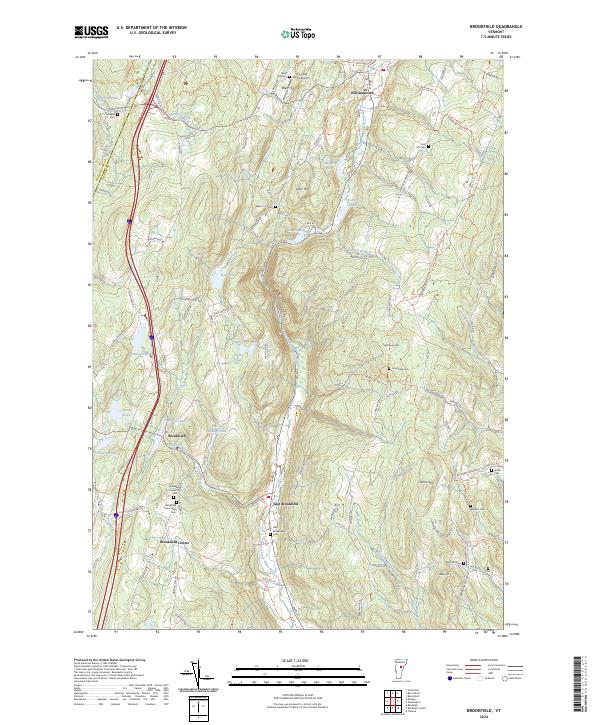
2024 Brookfield
Orange County, VT
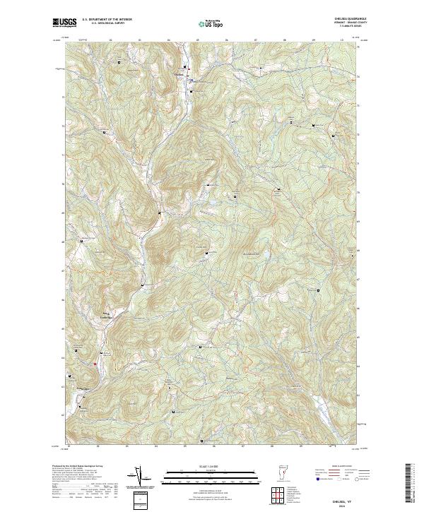
2024 Chelsea
Orange County, VT
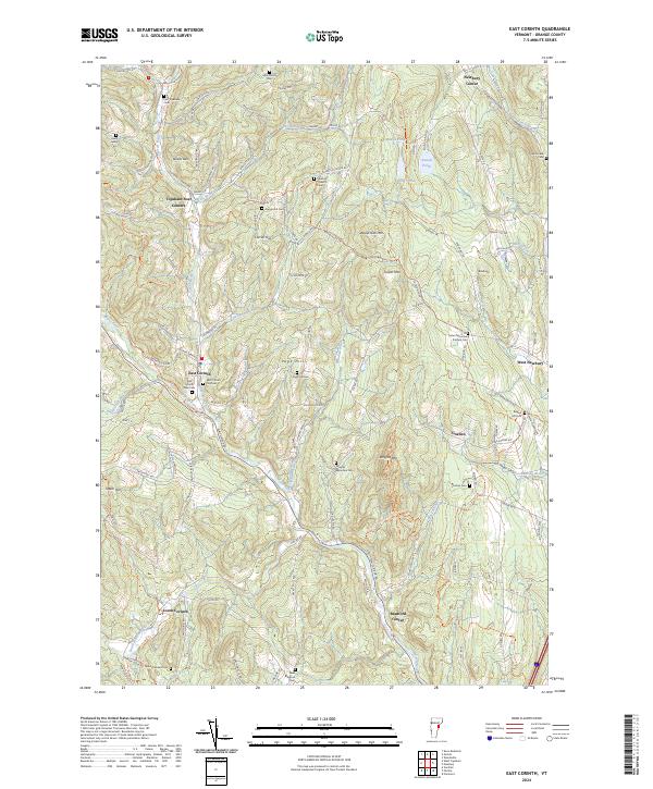
2024 East Corinth
Orange County, VT
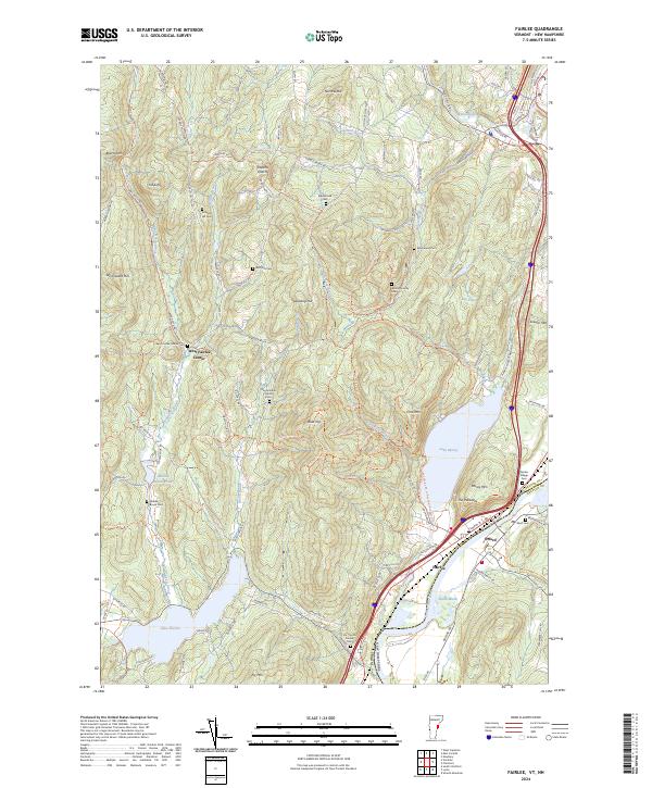
2024 Fairlee
Orange County, VT
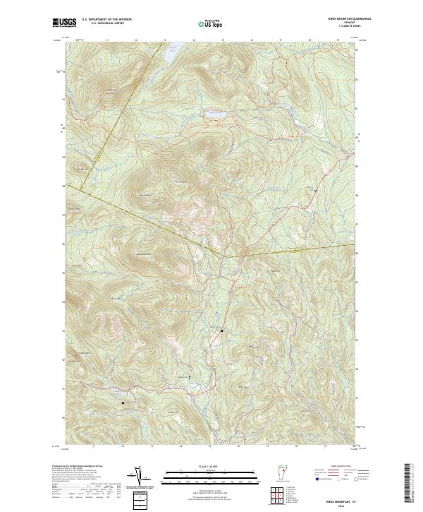
2024 Knox Mountain
Orange County, VT
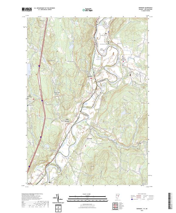
2024 Newbury
Orange County, VT
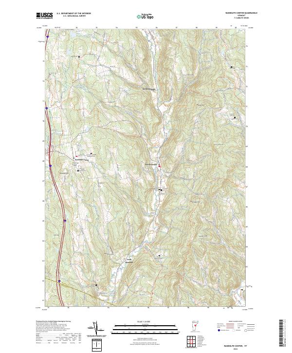
2024 Randolph Center
Orange County, VT
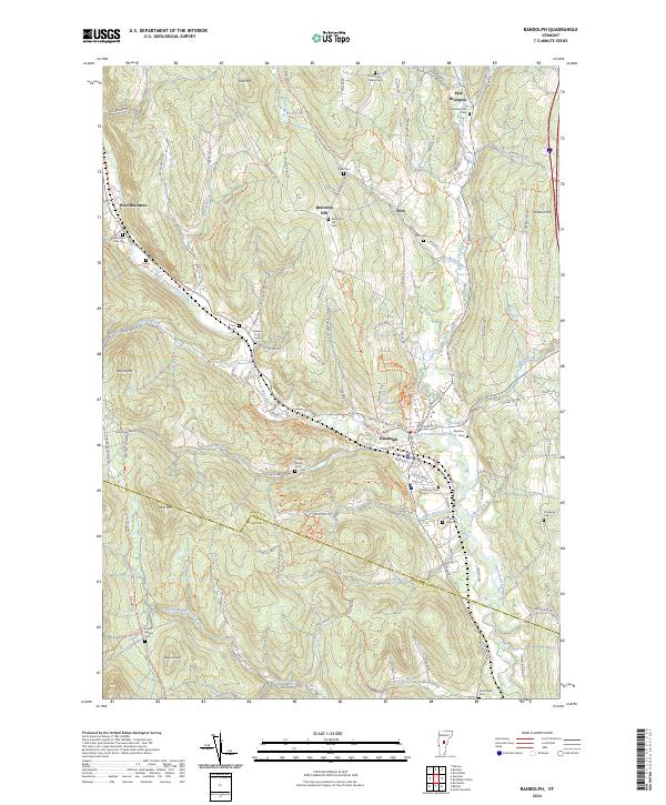
2024 Randolph
Orange County, VT
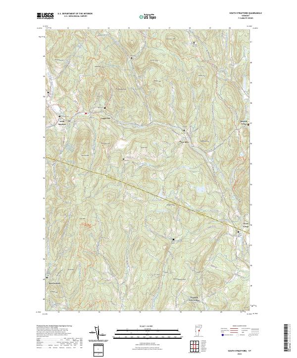
2024 South Strafford
Orange County, VT
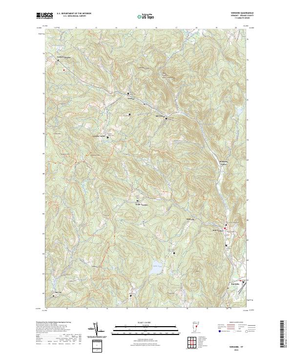
2024 Vershire
Orange County, VT
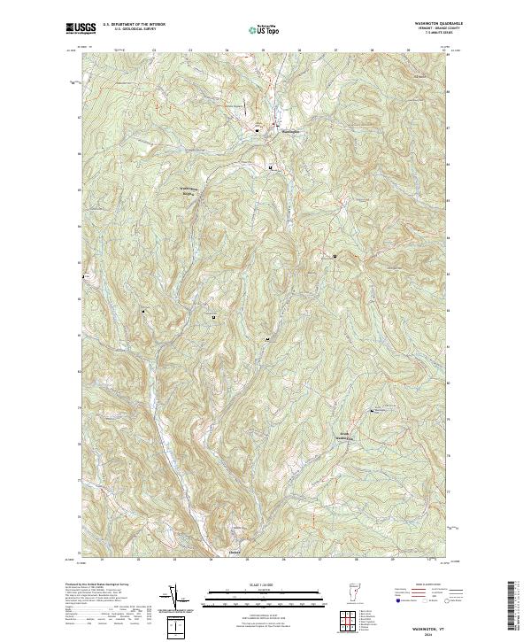
2024 Washington
Orange County, VT
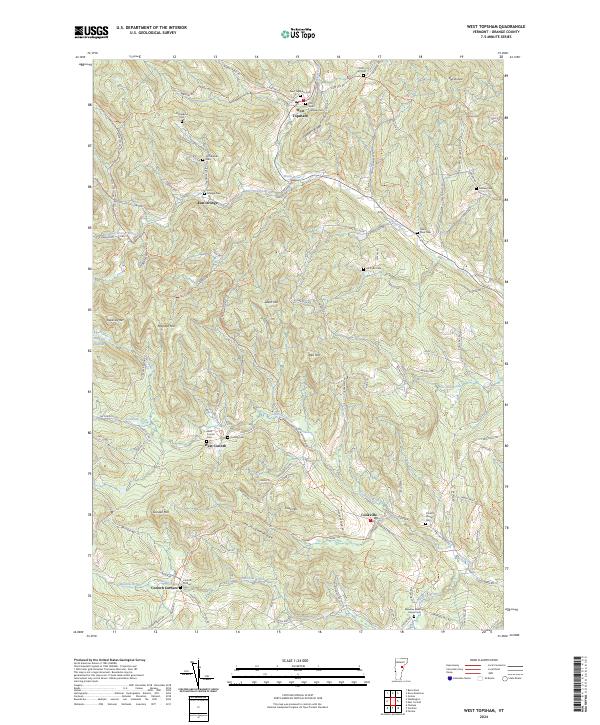
2024 West Topsham
Orange County, VT