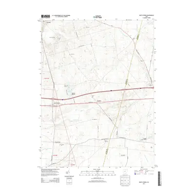
2013 Map of South Vienna
USGS Topo · Published 2013About this map
South Vienna and the surrounding agricultural landscape of Clark County are defined by a network of historic roads and drainage patterns in this 2013 survey. The area transitions from the settled village of South Vienna out to smaller clusters like Plattsburg and the residential development at Sylvan Shores near Lake Sylvan. Regional connectivity is anchored by US Highway 40 SW and E National Rd, which parallel the older township divisions.
Find a feature on this map
76 named features on this map. Tap any name to fly to it.
Don’t see what you’re looking for? This feature index may not catch every label — zoom into the map to look around manually.
Map Details
Editions of this 2013 South Vienna Map
This is the sole edition of this map. No revisions or reprints were ever made.
Other maps of this area

1907 · London
USGS Topo · 1:62,500

1907 · South Charleston
USGS Topo · 1:62,500

1914 · Mechanicsburg
USGS Topo · 1:62,500

1916 · Mechanicsburg
USGS Topo · 1:62,500

1916 · Milford Center
USGS Topo · 1:62,500

1944 · Mechanicsburg
USGS Topo · 1:62,500

1944 · Milford Center
USGS Topo · 1:62,500

1947 · Columbus
USGS Topo · 1:250,000

1950 · Marion
USGS Topo · 1:250,000

1961 · Columbus
USGS Topo · 1:250,000