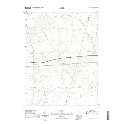
2019 Map of South Vienna
USGS Topo · Published 2019About this map
The village of South Vienna sits at a critical junction of historical and modern transit, where the path of the old E National Rd parallels the heavy flow of the interstate. This landscape along the Clark County and Madison County line is defined by a dense network of agricultural drainage and small waterways, including the Beaver Creek and the headwaters of the N Fork Little Miami River. The map reveals a deeply rooted rural community, marked by numerous family-named burial grounds like McConkey Cem and Statler Cem. To the south, the settlement of Plattsburg anchors a grid of county roads, while the drainage patterns of George C Wilson Ditch and W G Wilson Ditch illustrate the engineered landscape of Ohio’s fertile farmland. The presence of Wilson Chapel Cem and Brighton further highlights the scattered hamlets that have historically served this region between urban centers.
Find a feature on this map
62 named features on this map. Tap any name to fly to it.
Don’t see what you’re looking for? This feature index may not catch every label — zoom into the map to look around manually.
Map Details
Editions of this 2019 South Vienna Map
This is the sole edition of this map. No revisions or reprints were ever made.
Other maps of this area

1907 · London
USGS Topo · 1:62,500

1907 · South Charleston
USGS Topo · 1:62,500

1914 · Mechanicsburg
USGS Topo · 1:62,500

1916 · Mechanicsburg
USGS Topo · 1:62,500

1916 · Milford Center
USGS Topo · 1:62,500

1944 · Mechanicsburg
USGS Topo · 1:62,500

1944 · Milford Center
USGS Topo · 1:62,500

1947 · Columbus
USGS Topo · 1:250,000

1950 · Marion
USGS Topo · 1:250,000

1961 · Columbus
USGS Topo · 1:250,000