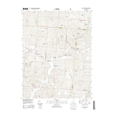
2013 Map of South Webster
USGS Topo · Published 2013About this map
The community of South Webster sits at the heart of this landscape, where the ridges of the Wayne National Forest are dissected by a complex network of hollows including Dutch Hollow, Sugar Camp Hollow, and Railroad Hollow. The area’s industrial and settlement history is marked by small crossroads such as Bloom Junction, Eifort, and Firebrick, reflecting a legacy of resource extraction and furnace operations found at Olive Furnace. Genealogists will find a significant density of family and community burial sites, including the South Webster Cem, Bloom Township Cem, and the more remote Jackson Furnace Cem. This 2013 survey provides a detailed look at the modern road network, including State Route 140, while preserving the locations of historical landmarks like the Simmering Lookout Tower and various church and cemetery sites that define the local heritage of Scioto and Lawrence counties.
Find a feature on this map
81 named features on this map. Tap any name to fly to it.
Don’t see what you’re looking for? This feature index may not catch every label — zoom into the map to look around manually.
Map Details
Editions of this 2013 South Webster Map
This is the sole edition of this map. No revisions or reprints were ever made.
Other maps of this area

1898 · Ironton
USGS Topo · 1:62,500

1900 · Ironton
USGS Topo · 1:62,500

1911 · Sciotoville
USGS Topo · 1:62,500

1912 · Oak Hill
USGS Topo · 1:62,500

1913 · Sciotoville
USGS Topo · 1:62,500

1926 · Greenup
USGS Topo · 1:48,000

1930 · Greenup
USGS Topo · 1:62,500

1957 · Huntington
USGS Topo · 1:250,000

1960 · Huntington
USGS Topo · 1:250,000
1961 · Petersburg
USGS Topo · 1:24,000