2023 Map of South Webster
USGS Topo · Published 2023About this map
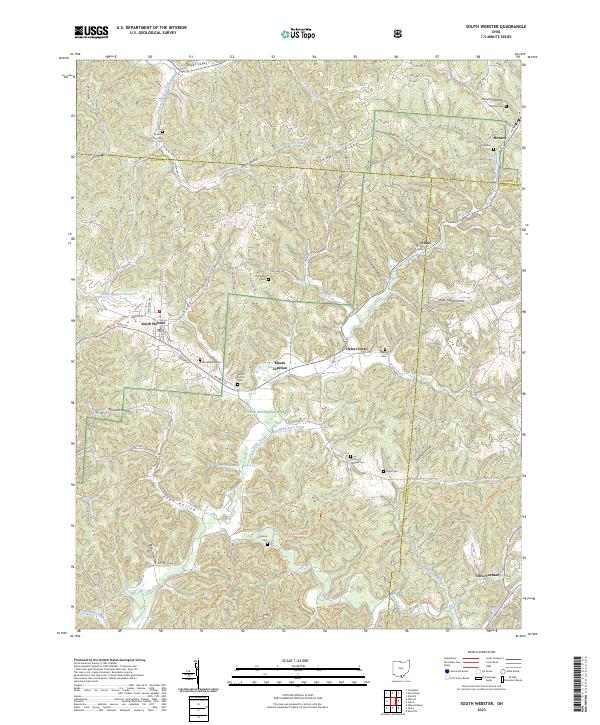
South Webster serves as the primary hub in this southern Ohio landscape, where the town plan centers on Main St and Webster St. The surrounding terrain is defined by a dense network of steep hollows and ridges, including Simmering Ridge and Harrison Hollow, much of which is protected within the Wayne National Forest. The map reveals a history tied to the early iron industry, evidenced by the presence of Olive Furnace and multiple burial grounds like Jackson Furnace Cem and Bloom Furnace Cem. These labels point to a time when industrial centers were scattered along the creeks and runs of the region. Transportation throughout the forest is facilitated by specialized paths such as the Telegraph Trl and Ir-Pc Telegraph Ohv Trl, reflecting the modern recreational use of this rugged topography.
Find a feature on this map
76 named features on this map. Tap any name to fly to it.
Don’t see what you’re looking for? This feature index may not catch every label — zoom into the map to look around manually.
Map Details
Editions of this 2023 South Webster Map
This is the sole edition of this map. No revisions or reprints were ever made.
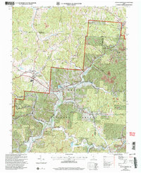
Historical Maps of Eifort Through Time
3 maps found

Featured Locations
- South Webster, OH
- Eifort, OH
- Washington Township, OH
- Decatur Township, OH
- Olive Furnace, Washington Township