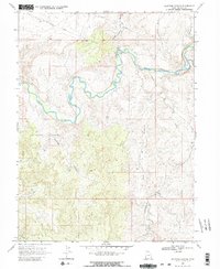
1968 Map of Southam Canyon
USGS Topo · Published 1980About this map
The White River carves a winding path through this corner of Uintah County, defining a landscape shaped by both natural erosion and industrial extraction. Near a sharp bend in the river, the Ignatio Stage Stop (Site) marks a point of historical transit, while a nearby Gaging Station monitors the flow of this vital watercourse. To the south, the terrain becomes increasingly complex as the Southam Canyon and Southman Canyon systems converge, providing a rugged backdrop for the region's energy resources.
Find a feature on this map
16 named features on this map. Tap any name to fly to it.
Don’t see what you’re looking for? This feature index may not catch every label — zoom into the map to look around manually.
Map Details
Editions of this 1968 Southam Canyon Map
2 editions found
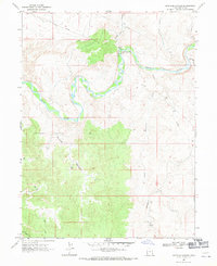
Other maps of this area

1885 · East Tavaputs
USGS Topo · 1:250,000

1885 · Ashley
USGS Topo · 1:250,000

1907 · Jensen
USGS Topo · 1:125,000

1910 · Jensen
USGS Topo · 1:125,000

1954 · Vernal
USGS Topo · 1:250,000

1956 · Grand Junction
USGS Topo · 1:250,000

1958 · Vernal
USGS Topo · 1:250,000

1959 · Grand Junction
USGS Topo · 1:250,000

1960 · Vernal
USGS Topo · 1:250,000

1960 · Grand Junction
USGS Topo · 1:250,000