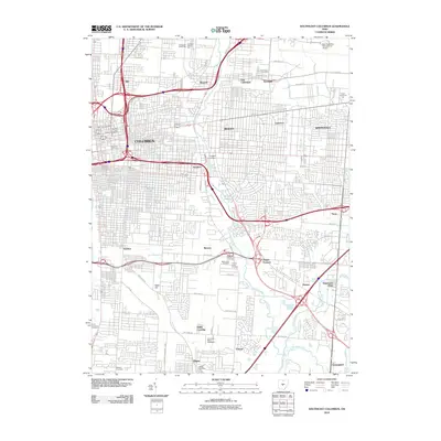
2010 Map of Southeast Columbus
USGS Topo · Published 2010About this map
Columbus and its eastern suburbs are shown here in 2010, revealing a dense urban and industrial landscape shaped by the branching corridors of Alum Creek and Big Walnut Creek. The map details the transition from established neighborhoods like Bexley and Whitehall to the industrial centers of Steelton and the logistics hubs near Port Columbus International Airport. A significant concentration of historical cemeteries sits near Munks Corners, including Agudas Achim Cemetery and Tifereth Israel Cemetery, providing valuable data for genealogists. The southern portion of the map highlights the area's entertainment and transport history, featuring the Columbus Motor Speedway and the rail junction at Valley Crossing. Institutional landmarks such as Franklin University and Capital University further anchor the educational fabric of this metropolitan region.
Find a feature on this map
57 named features on this map. Tap any name to fly to it.
Don’t see what you’re looking for? This feature index may not catch every label — zoom into the map to look around manually.
Map Details
Editions of this 2010 Southeast Columbus Map
This is the sole edition of this map. No revisions or reprints were ever made.
Other maps of this area

1901 · Dublin
USGS Topo · 1:62,500

1902 · Westerville
USGS Topo · 1:62,500

1903 · Dublin
USGS Topo · 1:62,500

1904 · Westerville
USGS Topo · 1:62,500

1923 · West Columbus
USGS Topo · 1:62,500

1925 · East Columbus
USGS Topo · 1:62,500

1925 · West Columbus
USGS Topo · 1:62,500

1943 · East Columbus
USGS Topo · 1:62,500

1947 · Columbus
USGS Topo · 1:250,000

1950 · Marion
USGS Topo · 1:250,000