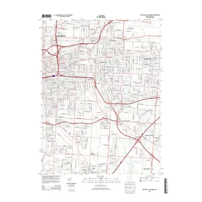
2013 Map of Southeast Columbus
USGS Topo · Published 2013About this map
Alum Creek and Big Walnut Creek carve through the urbanized landscape of eastern Franklin County, anchoring a region where academic institutions and international transport meet historic neighborhoods. Higher education is a dominant theme, with the campuses of Ohio Dominican Univ, Capital Univ, and Franklin Univ established alongside the residential blocks of Bexley and Whitehall. The industrial and logistics legacy of the area is visible in the vast grounds of the Port Columbus International Airport and the Norfolk Southern rail lines that serve the southern reaches near Steelton and Bannon.
Find a feature on this map
55 named features on this map. Tap any name to fly to it.
Don’t see what you’re looking for? This feature index may not catch every label — zoom into the map to look around manually.
Map Details
Editions of this 2013 Southeast Columbus Map
This is the sole edition of this map. No revisions or reprints were ever made.
Other maps of this area

1901 · Dublin
USGS Topo · 1:62,500

1902 · Westerville
USGS Topo · 1:62,500

1903 · Dublin
USGS Topo · 1:62,500

1904 · Westerville
USGS Topo · 1:62,500

1923 · West Columbus
USGS Topo · 1:62,500

1925 · East Columbus
USGS Topo · 1:62,500

1925 · West Columbus
USGS Topo · 1:62,500

1943 · East Columbus
USGS Topo · 1:62,500

1947 · Columbus
USGS Topo · 1:250,000

1950 · Marion
USGS Topo · 1:250,000